7 Armstrong Close, Birchwood, Warrington, WA3 6DH
About 7 Armstrong Close
7 Armstrong Close is a detached house in Birchwood, Warrington, Warrington (WA3 6DH). It has a recorded floor area of 115 m² (around 1238 sq ft), construction records dating it to 1967-1975 and council tax band C. The latest certificate (August 2020) shows a C (score 70). When first surveyed in November 2013 the rating was D, the property has climbed 1 band since. Between certificates, lighting dropped from Very Good to Good. The recommended improvements would push it to B (score 82).
At 115 m² the property is well over the postcode median (63 m² across 51 EPCs), placing it in the larger end of the local stock. Today's modelled estimate of £323,000 sits 86033.3% above the 2019 sale of £375. On a £-per-square-foot basis, the last sale (£0/sq ft) was about 99.8% below the postcode norm. Last sale on file: £375 in October 2019.
Everything you need to know about 7 Armstrong Close
The true value, the hidden risks and the full sale history, in one report.
Pick your report · every report is £14.99
One time fee only - money back guarantee

The data behind every report


Energy performance
EPC Rating
Property Improvements
Changes detected from historical EPC data
Windows upgraded, improving insulation
Wall insulation upgraded
Get a survey for this property
Level 2 HomeBuyer Report
We've checked 10 risk factors against the available data for this property and believe a Level 2 HomeBuyer Report could be a suitable option for you.
From £595 · Includes VAT
Planning history
7 Armstrong Close has no planning applications on record.
A planning report still maps activity across the surrounding area and reads this property's extension & conversion potential.
Sales history & valuation
7 Armstrong Close's modelled value sits at over four times its earliest registered sale price (2019).
£323,000
Modelled from EPC, postcode comparables.
£375
Recorded with HM Land Registry.
Sales timeline
14 October 2019Most recent
£375
Median price across the last 5 sales in WA3 6DH: £150,000 (2025–2023).
Nearby sales in WA3 6DH
6 Armstrong Close, Birchwood, Warrington, WA3 6DH
Sold Mar 2025
£216,00019 Armstrong Close, Birchwood, Warrington, WA3 6DH
Sold Oct 2023
£104,00041 Armstrong Close, Birchwood, Warrington, WA3 6DH
Sold Oct 2023
£152,00055 Armstrong Close, Birchwood, Warrington, WA3 6DH
Sold Aug 2023
£150,00060 Armstrong Close, Birchwood, Warrington, WA3 6DH
Sold Aug 2023
£145,000
Versus other Armstrong Close homes
Price per m² for 7 Armstrong Close lags the street by a wide margin.
Price per m²
£3
Street avg £1,868
Floor Area
115 m²
Street avg 71 m²
Habitable Rooms
8 rooms
Street avg 4 rooms
CO₂ Emissions
3.9 t/year
Street avg 3.1 t/year
Everything you need to know about 7 Armstrong Close
The true value, the hidden risks and the full sale history, in one report.
Pick your report · every report is £14.99
One time fee only - money back guarantee
The data behind every report
Similar properties nearby
1 Carden Close, Birchwood
WA3 6LT
1 Applecross Close, Birchwood
WA3 6UX
1 Dove Close, Birchwood
WA3 6QH
1 Colebrooke Close, Birchwood
WA3 6RY
1 Bramshill Close, Birchwood
WA3 6TY
1 Briar Avenue, Rixton
WA3 6JH
1 Birch Road, Rixton
WA3 6HZ
1 Barham Court, Birchwood
WA3 6ND
The neighbourhood at a glance
Crime
1/mo
Steady year-on-year across the wider district.
Nearest stop
0.1 km
Heather Close — bus stop.
Closest school
0.2 km
Locking Stumps Community Primary School. 16 schools nearby.
Go deeper on the local area
A Local Area report breaks down crime, transport links, schools and air quality in depth.
Road noise across the postcode
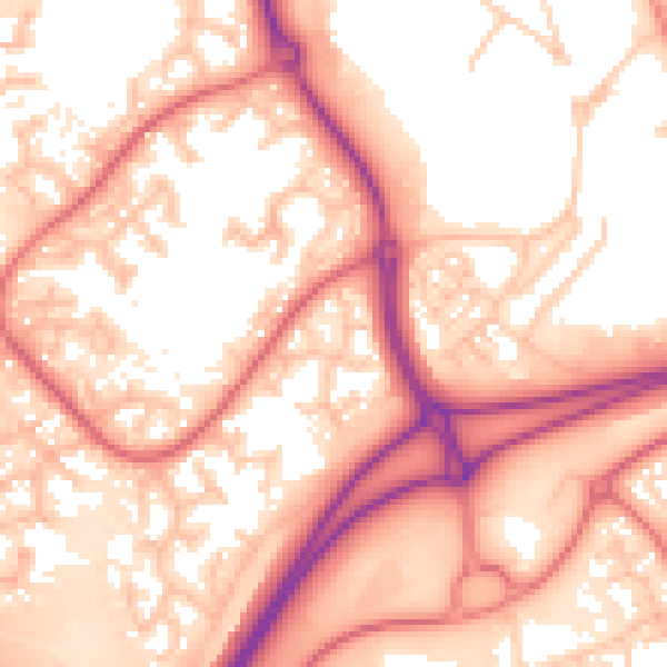
Daytime· 07:00 – 23:00
57.1dB

Night-time· 23:00 – 07:00
48.6dB