11 Alfred Road, Lowton, Warrington, WA3 1EA
About 11 Alfred Road
11 Alfred Road is a three-bedroom mid-terrace house in Lowton, Warrington, Warrington (WA3 1EA). It has a recorded floor area of 69 m² (around 743 sq ft), construction records dating it to 1930-1949 and council tax band A. The latest certificate (February 2020) shows a D (score 65), on the cusp of jumping into the C band. The rating has held steady at D across 2 certificates since September 2009. Between certificates, roof efficiency went from Very Poor to Good; while lighting dropped from Very Good to Good. The recommended improvements would lift it to B (score 85), a 2-band jump.
It hasn't traded since September 2005, a hold of 21 years that's notably long for the area. Across 2005–2005, sale prices on this property compounded at -7.9% per year. Today's modelled estimate of £169,000 sits 141.4% above the 2005 sale of £70,000. On a £-per-square-foot basis, the last sale (£94/sq ft) was about 30.2% below the postcode norm.
What this property has
Inside
- Bedrooms3
Everything you need to know about 11 Alfred Road
The true value, the hidden risks and the full sale history, in one report.
Pick your report · every report is £14.99
One time fee only - money back guarantee

The data behind every report


Energy performance
Recommended upgrades on file would lift this property by multiple EPC bands.
EPC Rating
Property Improvements
Changes detected from historical EPC data
Loft insulation installed or upgraded to 250mm+
Get a survey for this property
Level 3 Building Survey
Because the property has solid (non-cavity) walls, we believe a Level 3 building survey should be considered.
From £820 · Includes VAT
Planning history
11 Alfred Road has no planning applications on record.
A planning report still maps activity across the surrounding area and reads this property's extension & conversion potential.
Sales history & valuation
11 Alfred Road changed hands twice within eighteen months — unusual for the area.
£169,000
Modelled from EPC, postcode comparables and a sale-price growth of -7.9% per year over 1 year.
£70,000
Growth on file: -7.9% per year over 1 year.
Sales timeline
11 September 2005Most recent
£70,000
-7.9%8 September 2005
£76,000
Median price across the last 5 sales in WA3 1EA: £123,000 (2024–2017).
Nearby sales in WA3 1EA
45 Alfred Road, Lowton, Warrington, WA3 1EA
Sold Aug 2024
£198,00023 Alfred Road, Lowton, Warrington, WA3 1EA
Sold Oct 2022
£123,00039 Alfred Road, Lowton, Warrington, WA3 1EA
Sold Mar 2021
£185,0003 Alfred Road, Lowton, Warrington, WA3 1EA
Sold Jul 2018
£88,00017 Alfred Road, Lowton, Warrington, WA3 1EA
Sold Jun 2016
£109,000
Versus other Alfred Road homes
Floor Area for 11 Alfred Road lags the street by a wide margin.
Price per m²
£1,014
Street avg £1,579
Floor Area
69 m²
Street avg 78 m²
Habitable Rooms
5 rooms
Street avg 5 rooms
CO₂ Emissions
2.9 t/year
Street avg 3.3 t/year
Everything you need to know about 11 Alfred Road
The true value, the hidden risks and the full sale history, in one report.
Pick your report · every report is £14.99
One time fee only - money back guarantee
The data behind every report
Similar properties nearby
1 Bodden Street, Lowton
WA3 1DX
1 Heathmoor Avenue, Lowton
WA3 1HP
1 Clayhill Grove, Lowton
WA3 1FZ
1 Adwell Close, Lowton
WA3 1DE
1 Kirkham Avenue, Lowton
WA3 1LL
1 Glastonbury Avenue, Lowton
WA3 1ET
1 Chapel Terrace, Lowton
WA3 1EF
1 Carr Lane, Lowton
WA3 1AF
The neighbourhood at a glance
Daytime road noise here sits well below conversation level — a quiet pocket of the postcode.
Crime
1/mo
Steady year-on-year across the wider district.
Nearest stop
0.2 km
Morgans Way — bus stop.
Closest school
0.1 km
Lowton St Mary's CofE (Voluntary Aided) Primary School. 13 schools nearby.
Go deeper on the local area
A Local Area report breaks down crime, transport links, schools and air quality in depth.
Road noise across the postcode
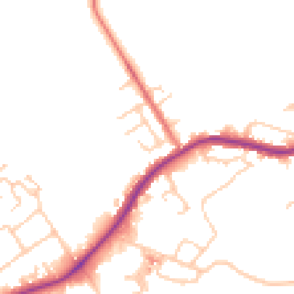
Daytime· 07:00 – 23:00
48.6dB

Night-time· 23:00 – 07:00
42.4dB