88 Newton Road, Lowton, Warrington, WA3 1DG
About 88 Newton Road
88 Newton Road is a two-bedroom mid-terrace house in Lowton, Warrington, Warrington (WA3 1DG). It has a recorded floor area of 79 m² (around 850 sq ft), construction records dating it to 1900-1929 and council tax band A. The latest certificate (December 2021) shows a D (score 65), on the cusp of jumping into the C band. Earlier certificates rated it C (October 2010); the latest reading is one band lower. Between certificates, wall efficiency went from Very Poor to Poor and lighting went from Average to Very Good; while roof efficiency dropped from Good to Average and hot-water efficiency dropped from Very Good to Good. The recommended improvements would lift it to B (score 88), a 2-band jump. Other recorded features include outbuildings.
Untraded for 23 years, with the last transfer in April 2003. Across 1997–2003, sale prices on this property compounded at 21% per year. Today's modelled estimate of £154,000 sits 136.9% above the 2003 sale of £65,000. On a £-per-square-foot basis, the last sale (£76/sq ft) was about 31.5% below the postcode norm.
What this property has
Inside
- Bedrooms2
- Bathrooms1
- Dining roomYes
- FireplaceYes
Outside
- Private gardenYes
- OutbuildingsYes
Building
- Heating systemGas
- RefurbishedYes
Everything you need to know about 88 Newton Road
The true value, the hidden risks and the full sale history, in one report.
Pick your report · every report is £14.99
One time fee only - money back guarantee

The data behind every report


Energy performance
Recommended upgrades on file would lift this property by multiple EPC bands.
EPC Rating
Property Improvements
Changes detected from historical EPC data
Heating controls changed
Hot water efficiency decreased
Wall insulation improved
More low energy lighting installed
Get a survey for this property
Level 3 Building Survey
Because the property was built before 1919 and has permanent outbuildings, we believe a Level 3 building survey should be considered.
From £820 · Includes VAT
Planning history
88 Newton Road has no planning applications on record.
A planning report still maps activity across the surrounding area and reads this property's extension & conversion potential.
Sales history & valuation
88 Newton Road has more than doubled in price since the earliest registered sale in 1997.
£154,000
Modelled from EPC, postcode comparables and a sale-price growth of 21.0% per year over 6 years.
£65,000
Growth on file: 21.0% per year over 6 years.
Sales timeline
10 April 2003Most recent
£65,000
+69.9%over 1 year27 September 2001
£38,250
+73.9%over 4 years5 August 1997
£22,000
Median price across the last 5 sales in WA3 1DG: £145,000 (2025–2023).
Nearby sales in WA3 1DG
166 Newton Road, Lowton, Warrington, WA3 1DG
Sold May 2025
£132,95082 Newton Road, Lowton, Warrington, WA3 1DG
Sold Apr 2025
£145,000164 Newton Road, Lowton, Warrington, WA3 1DG
Sold Jan 2025
£195,00084 Newton Road, Lowton, Warrington, WA3 1DG
Sold Dec 2024
£130,000126 Newton Road, Lowton, Warrington, WA3 1DG
Sold Dec 2023
£152,000
Versus other Newton Road homes
88 Newton Road is notably below the street on price per m².
Price per m²
£823
Street avg £1,601
Floor Area
79 m²
Street avg 93 m²
Habitable Rooms
4 rooms
Street avg 5 rooms
CO₂ Emissions
3.2 t/year
Street avg 3.9 t/year
Everything you need to know about 88 Newton Road
The true value, the hidden risks and the full sale history, in one report.
Pick your report · every report is £14.99
One time fee only - money back guarantee
The data behind every report
Similar properties nearby
1 Carr Lane, Lowton
WA3 1AF
1 Chapel Terrace, Lowton
WA3 1EF
1 Bodden Street, Lowton
WA3 1DX
1 Heathmoor Avenue, Lowton
WA3 1HP
1 Clayhill Grove, Lowton
WA3 1FZ
1 Adwell Close, Lowton
WA3 1DE
1 Kirkham Avenue, Lowton
WA3 1LL
1 Glastonbury Avenue, Lowton
WA3 1ET
The neighbourhood at a glance
Daytime road noise here sits well below conversation level — a quiet pocket of the postcode.
Crime
1/mo
Steady year-on-year across the wider district.
Nearest stop
0.0 km
Morgans Way — bus stop.
Closest school
0.2 km
Lowton St Mary's CofE (Voluntary Aided) Primary School. 12 schools nearby.
Go deeper on the local area
A Local Area report breaks down crime, transport links, schools and air quality in depth.
Road noise across the postcode
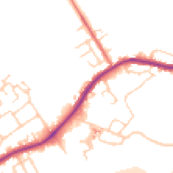
Daytime· 07:00 – 23:00
49.9dB

Night-time· 23:00 – 07:00
43.5dB