9 Colemere Close, Padgate, Warrington, WA1 4LA
About 9 Colemere Close
9 Colemere Close is a property in Padgate, Warrington, Warrington (WA1 4LA). It has council tax band C.
Untraded for 24 years, with the last transfer in August 2002. Across 2001–2002, sale prices on this property compounded at 27.4% per year.
Everything you need to know about 9 Colemere Close
The true value, the hidden risks and the full sale history, in one report.
30-day money-back guarantee

The data behind every report


Energy performance
No EPC on record
This property doesn't have an Energy Performance Certificate yet. An EPC is required to sell or let — and unlocks our automated valuation.
Planning history
9 Colemere Close has no planning applications on record.
Notable planning nearby
3applications of note in the surrounding area
We flagged 2 things worth checking at 9 Colemere Close
Independent checks surfaced things a buyer would want to understand before offering. The report explains each one in full, with the underlying data and what to ask.
- Larger development activity nearby
- Recent ownership pattern worth a look
30-day money-back guarantee
Sales history & valuation
9 Colemere Close changed hands twice within eighteen months — unusual for the area.
£135,000
Growth on file: 27.4% per year over 1 year.
Sales timeline
22 August 2002Most recent
£135,000
+27.4%over 12 months22 August 2001
£105,995
Median price across the last 5 sales in WA1 4LA: £340,000 (2024–2021).
Nearby sales in WA1 4LA
45 Colemere Close, Padgate, Warrington, WA1 4LA
Sold Nov 2024
£360,00017 Colemere Close, Padgate, Warrington, WA1 4LA
Sold Jun 2024
£340,00016 Colemere Close, Padgate, Warrington, WA1 4LA
Sold Aug 2023
£385,0003 Colemere Close, Padgate, Warrington, WA1 4LA
Sold Jun 2021
£280,00011 Colemere Close, Padgate, Warrington, WA1 4LA
Sold Feb 2021
£250,000
Everything you need to know about 9 Colemere Close
The true value, the hidden risks and the full sale history, in one report.
30-day money-back guarantee
The data behind every report
Similar properties nearby
1 Abstone Close, Woolston
WA1 4NQ
1 Alder Road, Woolston
WA1 4EJ
1 Clares Farm Close, Woolston
WA1 4QE
1 Dorset Way, Woolston
WA1 4LQ
1 Colemere Close, Padgate
WA1 4LA
1 Austral Avenue, Woolston
WA1 4ND
1 Elizabeth Drive, Padgate
WA1 4JQ
1 Barnfield Road, Woolston
WA1 4NW
The neighbourhood at a glance
Rail-style transport is unusually close for this postcode.
Crime
3/mo
Steady year-on-year across the wider district.
Nearest stop
0.3 km
Green Lane Shops — bus stop.
Closest school
0.4 km
Christ Church CofE Primary School Padgate. 30 schools nearby.
Go deeper on the local area
The full report breaks down crime, transport links, schools and air quality in depth.
Road noise across the postcode
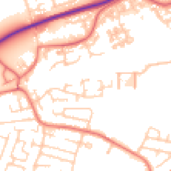
Daytime· 07:00 – 23:00
53.4dB

Night-time· 23:00 – 07:00
43.8dB