17 Ford Street, Warrington, WA1 3QH
About 17 Ford Street
17 Ford Street is a two-bedroom mid-terrace house in Warrington (WA1 3QH). It has a recorded floor area of 86 m² (around 926 sq ft), construction records dating it to 1900-1929 and council tax band A. The latest certificate (August 2025) shows a D (score 61), on the cusp of jumping into the C band. The recommended improvements would push it to C (score 80). Other recorded features include a loft. Records show the property has been extended at some point in its history.
Untraded for 19 years, with the last transfer in February 2007. That sale landed at the peak of the pre-credit-crunch market, which is a useful reference point when interpreting the price. At 86 m² the property is well over the postcode median (58 m² across 22 EPCs), placing it in the larger end of the local stock. Today's modelled estimate of £161,000 sits 130% above the 2007 sale of £70,000. On a £-per-square-foot basis, the last sale (£76/sq ft) was about 33.6% below the postcode norm.
What this property has
Inside
- Bedrooms2
- Bathrooms1
- Open-plan layoutYes
- LoftYes
Building
- Previously extendedYes
- RefurbishedYes
Everything you need to know about 17 Ford Street
The true value, the hidden risks and the full sale history, in one report.
30-day money-back guarantee

The data behind every report


Energy performance
EPC Rating
Planning history
17 Ford Street has no planning applications on record.
Notable planning nearby
3applications of note in the surrounding area
We flagged 1 thing worth checking at 17 Ford Street
Independent checks surfaced things a buyer would want to understand before offering. The report explains each one in full, with the underlying data and what to ask.
- Larger development activity nearby
30-day money-back guarantee
Sales history & valuation
The latest sale landed at the peak of the pre-credit-crunch market — a high-water reference point.
£161,000
Modelled from EPC, postcode comparables.
£70,000
Recorded with HM Land Registry.
Sales timeline
23 February 2007Most recent
£70,000
Median price across the last 5 sales in WA1 3QH: £110,000 (2022–2019).
Nearby sales in WA1 3QH
Versus other Ford Street homes
Floor Area for 17 Ford Street runs comfortably ahead of the street norm.
Price per m²
£814
Street avg £1,177
Floor Area
86 m²
Street avg 78 m²
Habitable Rooms
4 rooms
Street avg 4 rooms
CO₂ Emissions
3.3 t/year
Street avg 3.7 t/year
Everything you need to know about 17 Ford Street
The true value, the hidden risks and the full sale history, in one report.
30-day money-back guarantee
The data behind every report
Similar properties nearby
The neighbourhood at a glance
Crime
3/mo
Steady year-on-year across the wider district.
Nearest stop
0.1 km
Helsby Street — bus stop.
Closest school
0.4 km
St Benedict's Catholic Primary School. 40 schools nearby.
Go deeper on the local area
The full report breaks down crime, transport links, schools and air quality in depth.
Road noise across the postcode
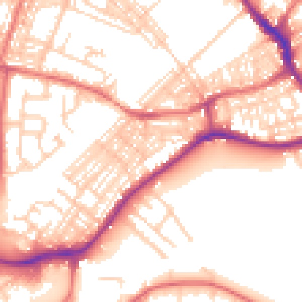
Daytime· 07:00 – 23:00
55.0dB

Night-time· 23:00 – 07:00
44.1dB