1 Ford Street, Warrington, WA1 3QH
About 1 Ford Street
1 Ford Street is an end-of-terrace house in Warrington (WA1 3QH). It has a recorded floor area of 92 m² (around 990 sq ft), construction records dating it to 1900-1929 and council tax band A. The latest certificate (November 2017) shows an E (score 51), well below the UK norm with real room to improve. The recommended improvements would lift it to C (score 78), a 2-band jump.
At 92 m² the property is well over the postcode median (58 m² across 22 EPCs), placing it in the larger end of the local stock. On energy efficiency it sits in the bottom 10% of properties in this postcode — significant headroom for improvement. Today's modelled estimate of £161,000 sits 101.3% above the 2018 sale of £80,000. On a £-per-square-foot basis, the last sale (£81/sq ft) was about 29% below the postcode norm. Last sold in March 2018, so it's been off the market for around 8 years. One historical planning record sits against the property in 2013.
Everything you need to know about 1 Ford Street
The true value, the hidden risks and the full sale history, in one report.
30-day money-back guarantee

The data behind every report


Energy performance
1 Ford Street sits at the bottom of the postcode for energy efficiency — meaningful headroom to improve.
EPC Rating
Planning history
- Jun 2013New BuildFullIn report
Full Planning - Proposed residential development to land off Ford Street.
- Documents
- 15 docs on file
- Reference
- 2013/21740
We flagged 1 thing worth checking at 1 Ford Street
Independent checks surfaced things a buyer would want to understand before offering. The report explains each one in full, with the underlying data and what to ask.
- Larger development activity nearby
30-day money-back guarantee
Sales history & valuation
1 Ford Street valuation sits well clear of the typical sold price in this postcode.
£161,000
Modelled from EPC, postcode comparables.
£80,000
Recorded with HM Land Registry.
Sales timeline
2 March 2018Most recent
£80,000
Median price across the last 5 sales in WA1 3QH: £110,000 (2022–2019).
Nearby sales in WA1 3QH
Versus other Ford Street homes
1 Ford Street outperforms the street on floor area by a wide margin.
Price per m²
£870
Street avg £1,171
Floor Area
92 m²
Street avg 77 m²
Habitable Rooms
4 rooms
Street avg 4 rooms
CO₂ Emissions
5.8 t/year
Street avg 3.4 t/year
Everything you need to know about 1 Ford Street
The true value, the hidden risks and the full sale history, in one report.
30-day money-back guarantee
The data behind every report
Similar properties nearby
The neighbourhood at a glance
Crime
3/mo
Steady year-on-year across the wider district.
Nearest stop
0.1 km
Helsby Street — bus stop.
Closest school
0.4 km
St Benedict's Catholic Primary School. 40 schools nearby.
Go deeper on the local area
The full report breaks down crime, transport links, schools and air quality in depth.
Road noise across the postcode
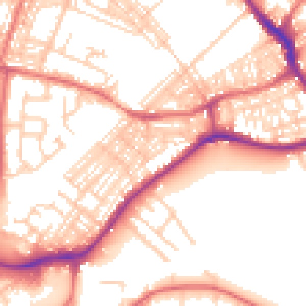
Daytime· 07:00 – 23:00
55.0dB

Night-time· 23:00 – 07:00
44.1dB