26 Riverside Close, Warrington, WA1 2JD
About 26 Riverside Close
26 Riverside Close is a two-bedroom semi-detached house in Warrington (WA1 2JD). It has a recorded floor area of 49 m² (around 531 sq ft) and council tax band B. The latest certificate (November 2009) shows a D (score 62), on the cusp of jumping into the C band. The recommended improvements would push it to C (score 73). The latest certificate is from November 2009, so improvements made since then won't be reflected.
Untraded for 16 years, with the last transfer in September 2010. Across 2003–2010, sale prices on this property compounded at 5.7% per year. Today's modelled estimate of £183,000 sits 60.5% above the 2010 sale of £114,000. On a £-per-square-foot basis, the last sale (£215/sq ft) was about 75.3% above the typical sold price in the postcode.
What this property has
Inside
- Bedrooms2
Everything you need to know about 26 Riverside Close
The true value, the hidden risks and the full sale history, in one report.
30-day money-back guarantee

The data behind every report


Energy performance
26 Riverside Close's EPC is over a decade old — improvements since won't be reflected.
EPC Expired
This certificate is over 10 years old and is no longer valid.Expired 04 Nov 2019
EPC Rating
Planning history
26 Riverside Close has no planning applications on record.
Notable planning nearby
2applications of note in the surrounding area
We flagged 1 thing worth checking at 26 Riverside Close
Independent checks surfaced things a buyer would want to understand before offering. The report explains each one in full, with the underlying data and what to ask.
- Larger development activity nearby
30-day money-back guarantee
Sales history & valuation
26 Riverside Close valuation sits well clear of the typical sold price in this postcode.
£183,000
Modelled from EPC, postcode comparables and a sale-price growth of 5.7% per year over 8 years.
£114,000
Growth on file: 5.7% per year over 8 years.
Sales timeline
2 September 2010Most recent
£114,000
+52.0%over 7 years4 February 2003
£75,000
Median price across the last 5 sales in WA1 2JD: £105,000 (2025–2023).
Nearby sales in WA1 2JD
Versus other Riverside Close homes
26 Riverside Close is notably below the street on habitable rooms.
Price per m²
£2,311
Street avg £2,330
Floor Area
49 m²
Street avg 69 m²
Habitable Rooms
3 rooms
Street avg 4 rooms
CO₂ Emissions
2.9 t/year
Street avg 3.2 t/year
Everything you need to know about 26 Riverside Close
The true value, the hidden risks and the full sale history, in one report.
30-day money-back guarantee
The data behind every report
Similar properties nearby
1 Pinders Farm Drive
WA1 2GF
1 Mason Street
WA1 2JJ
1 Castleton Drive
WA1 2GQ
1 Glossop Close
WA1 2GS
1 Fairclough Avenue
WA1 2JR
1 Gibson Street
WA1 2DE
1 Percival Street
WA1 2JE
1 Edale Close
WA1 2GR
The neighbourhood at a glance
Crime
3/mo
Steady year-on-year across the wider district.
Nearest stop
0.3 km
Grove Street — bus stop.
Closest school
0.7 km
Latchford St James CofE Primary School. 37 schools nearby.
Go deeper on the local area
The full report breaks down crime, transport links, schools and air quality in depth.
Road noise across the postcode
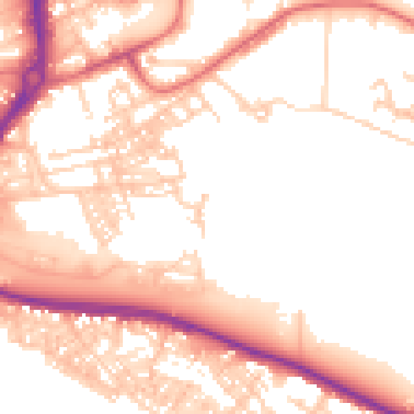
Daytime· 07:00 – 23:00
54.0dB

Night-time· 23:00 – 07:00
44.0dB