1 Devonport Road, Hammersmith And Fulham, London, W12 8NZ
About 1 Devonport Road
1 Devonport Road is a three-bedroom detached house in Hammersmith And Fulham, London, London (W12 8NZ). It has a recorded floor area of 234 m² (around 2519 sq ft), construction records dating it to 1900-1929 and council tax band G. The latest certificate (February 2025) shows a C (score 72). When first surveyed in March 2014 the rating was D, the property has climbed 1 band since. Between certificates, wall efficiency went from Very Poor to Poor, roof efficiency went from Average to Good and lighting went from Good to Very Good. The recommended improvements would push it to B (score 81).
It hasn't traded since December 1995, a hold of 30 years that's notably long for the area. Only one transfer is on record with HM Land Registry, suggesting it has stayed in the same hands for a long time. 5 planning records sit against the property, 3 approved, 1 refused, 1 pending. Past consents include an extension, meaningful when judging how the property has evolved. An active application for an extension is awaiting a decision. At 234 m² the property is well over the postcode median (63 m² across 52 EPCs), placing it in the larger end of the local stock. Its energy rating outperforms most of the postcode (better than 75% of similar EPCs). Today's modelled estimate of £1,826,000 sits 362.3% above the 1995 sale of £395,000. On a £-per-square-foot basis, the last sale (£157/sq ft) was about 43.5% below the postcode norm.
Know exactly what you're buying at 1 Devonport Road
Before you offer, see what the listing won't tell you, the true value, the red flags and the full history.
Already flagged here
Valuation
against the asking price
Risks
planning & flood
Sold prices
similar homes nearby
Trends
the local market
What this property has
Inside
- Bedrooms3
- Bathrooms1
- Dining roomYes
Energy performance
1 Devonport Road's carbon output runs well above what efficient homes in the postcode produce.
EPC Rating
Property Improvements
Changes detected from historical EPC data
Heating controls upgraded for better temperature management
Wall insulation improved
Loft insulation upgraded to recommended levels
More low energy lighting installed
Solar PV panels (25 kWp) installed
Planning history
1 Devonport Road has an approved single-storey side and rear extension on the planning record.
- Jul 2018RenovationFullIn report
Retention of metal railings and bamboo planters around the flat roof at first floor level in connection with its continued use as a roof terrace.
Retrospective- Documents
- 15 docs on file
- Reference
- 2018/01745/FUL
- May 2018RenovationAmendmentIn report
Retention of metal railings around the flat roof at first floor level in connection with its continued use as a terrace.
Retrospective- Documents
- 13 docs on file
- Reference
- 2018/00732/CLE
We flagged 1 thing worth checking at 1 Devonport Road
Independent checks surfaced things a buyer would want to understand before offering. The report explains each one in full, with the underlying data and what to ask.
- Larger development activity nearby
30-day money-back guarantee
Sales history & valuation
1 Devonport Road's modelled value sits at over four times its earliest registered sale price (1995).
£1,826,000
Modelled from EPC, postcode comparables.
£395,000
Recorded with HM Land Registry.
Sales timeline
6 December 1995Most recent
£395,000
Median price across the last 5 sales in W12 8NZ: £665,000 (2025–2018).
Nearby sales in W12 8NZ
47a, Devonport Road, Hammersmith And Fulham, London, W12 8NZ
Sold Oct 2025
£410,000Flat A, 53 Devonport Road, London, W12 8NZ
Sold Jan 2021
£500,00043a, Devonport Road, Hammersmith And Fulham, London, W12 8NZ
Sold Jan 2021
£870,00045a, Devonport Road, Hammersmith And Fulham, London, W12 8NZ
Sold Sept 2019
£1,025,00019b, Devonport Road, London, W12 8NZ
Sold Sept 2018
£665,000
Everything we know about 1 Devonport Road, in one report
What it's really worth, what could be wrong, and the planning, sales and area data in full.
What we flagged
- Larger development activity nearby

Versus other Devonport Road homes
1 Devonport Road outperforms the street on habitable rooms by a wide margin.
Price per m²
£1,688
Street avg £2,907
Floor Area
234 m²
Street avg 181 m²
Habitable Rooms
9 rooms
Street avg 6 rooms
CO₂ Emissions
6.5 t/year
Street avg 5.8 t/year
Similar properties nearby
1 Havilland Mews, Hammersmith And Fulham
W12 8BG
1 Devonport Mews, Hammersmith And Fulham
W12 8NG
1 Lime Grove, Hammersmith And Fulham
W12 8EE
1 Aldine Street, Hammersmith And Fulham
W12 8AW
1 Bamborough Gardens, Hammersmith And Fulham
W12 8QN
1 Richmond Way, Hammersmith And Fulham
W12 8LQ
1 Goldhawk Mews, Hammersmith And Fulham
W12 8PA
1 Godolphin Road, Hammersmith And Fulham
W12 8JE
The neighbourhood at a glance
Rail-style transport is unusually close for this postcode.
Crime
6/mo
Rising year-on-year across the wider district.
Nearest stop
0.2 km
St Stephen's Avenue — bus stop.
Closest school
0.2 km
Miles Coverdale Primary School. 69 schools nearby.
Go deeper on the local area
The full report breaks down crime, transport links, schools and air quality in depth.
Road noise across the postcode
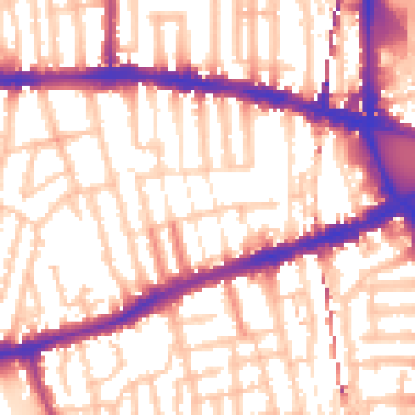
Daytime· 07:00 – 23:00
56.8dB

Night-time· 23:00 – 07:00
46.9dB