Flat A, 53 Devonport Road, London, W12 8NZ
About Flat A
Flat A is a one-bedroom semi-detached house in London (W12 8NZ). It has a recorded floor area of 83 m² (around 893 sq ft), construction records dating it to before 1900 and council tax band D. The latest certificate (October 2021) shows a C (score 73). When first surveyed in February 2009 the rating was D, the property has climbed 1 band since. Between certificates, wall efficiency went from Very Poor to Poor and window efficiency went from Average to Good; while lighting dropped from Very Good to Very Poor.
At 83 m² the property is well over the postcode median (63 m² across 52 EPCs), placing it in the larger end of the local stock. Its energy rating outperforms most of the postcode (better than 75% of similar EPCs). Last sale on file: £500,000 in January 2021. Across the public record there are 4 sales, relatively high churn for a single property. That sale was during the post-pandemic price surge, when transactions cleared materially above pre-2020 trend. Across 2003–2021, sale prices on this property compounded at 5.4% per year. Today's modelled estimate of £559,000 is 11.8% above the 2021 sale price. On a £-per-square-foot basis, the last sale (£560/sq ft) was about 104.1% above the typical sold price in the postcode.
Know exactly what you're buying at Flat A
Before you offer, see what the listing won't tell you, the true value, the red flags and the full history.
Already flagged here
Valuation
against the asking price
Risks
planning & flood
Sold prices
similar homes nearby
Trends
the local market
What this property has
Inside
- Bedrooms1
- Bathrooms1
- StudyYes
Outside
- Private gardenYes
Energy performance
EPC Rating
Property Improvements
Changes detected from historical EPC data
Window efficiency improved
Low energy lighting percentage decreased
Heating controls changed
Windows upgraded, improving insulation
Wall insulation improved
Low energy lighting percentage decreased
Planning history
Flat A has no planning applications on record.
Notable planning nearby
3applications of note in the surrounding area
We flagged 1 thing worth checking at Flat A
Independent checks surfaced things a buyer would want to understand before offering. The report explains each one in full, with the underlying data and what to ask.
- Larger development activity nearby
30-day money-back guarantee
Sales history & valuation
Flat A has more than doubled in price since the earliest registered sale in 2003.
£559,000
Modelled from EPC, postcode comparables and a sale-price growth of 5.4% per year over 17 years.
£500,000
Growth on file: 5.4% per year over 17 years.
Sales timeline
11 January 2021Most recent
£500,000
+16.3%over 7 years8 January 2014
£429,950
+83.0%over 7 years30 May 2006
£235,000
+17.5%over 2 years30 July 2003
£200,000
Median price across the last 5 sales in W12 8NZ: £665,000 (2025–2018).
Nearby sales in W12 8NZ
47a, Devonport Road, Hammersmith And Fulham, London, W12 8NZ
Sold Oct 2025
£410,00043a, Devonport Road, Hammersmith And Fulham, London, W12 8NZ
Sold Jan 2021
£870,00045a, Devonport Road, Hammersmith And Fulham, London, W12 8NZ
Sold Sept 2019
£1,025,00019b, Devonport Road, London, W12 8NZ
Sold Sept 2018
£665,000Ground Floor Flat, 53 Devonport Road, London, W12 8NZ
Sold May 2018
£460,000
Everything we know about Flat A, in one report
What it's really worth, what could be wrong, and the planning, sales and area data in full.
What we flagged
- Larger development activity nearby

Versus other Devonport Road homes
Flat A is notably below the street on years held.
Price per m²
£6,024
Street avg £5,721
Floor Area
83 m²
Street avg 70 m²
Habitable Rooms
4 rooms
Street avg 3 rooms
CO₂ Emissions
2.4 t/year
Street avg 3.1 t/year
Similar properties nearby
1a, Flat 1, Wells Road, Hammersmith And Fulham
W12 8DA
121, Flat C, Uxbridge Road
W12 8NL
1a, Flat 2, Wells Road, Hammersmith And Fulham
W12 8DA
23a, Flat 2, Coningham Road, Hammersmith And Fulham
W12 8BP
23a, Flat 1, Coningham Road, Hammersmith And Fulham
W12 8BP
111a, First Floor Flat, Uxbridge Road
W12 8NL
100 102, Flat 2, Uxbridge Road
W12 8LR
14a, Garden Flat, Woodstock Grove, Hammersmith And Fulham
W12 8LE
The neighbourhood at a glance
Rail-style transport is unusually close for this postcode.
Crime
6/mo
Rising year-on-year across the wider district.
Nearest stop
0.2 km
St Stephen's Avenue — bus stop.
Closest school
0.2 km
Miles Coverdale Primary School. 69 schools nearby.
Go deeper on the local area
The full report breaks down crime, transport links, schools and air quality in depth.
Road noise across the postcode
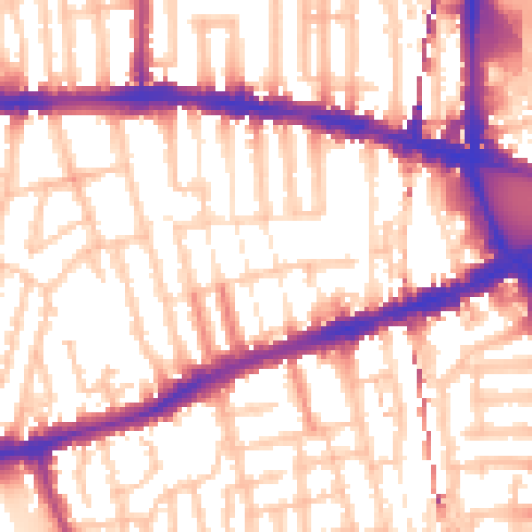
Daytime· 07:00 – 23:00
56.8dB

Night-time· 23:00 – 07:00
46.9dB