19 Dacre Close, Greenford, UB6 9UQ
About 19 Dacre Close
19 Dacre Close is a one-bedroom property in Greenford (UB6 9UQ). It has council tax band C.
On the market in March 2015 and unlisted since — roughly 11 years. Across 2002–2015, sale prices on this property compounded at 5% per year.
Know exactly what you're buying at 19 Dacre Close
Before you offer, see what the listing won't tell you, the true value, the red flags and the full history.
Already flagged here
Valuation
against the asking price
Risks
planning & flood
Sold prices
similar homes nearby
Trends
the local market
What this property has
Inside
- Bedrooms1
Outside
- ParkingAllocated
Energy performance
No EPC on record
This property doesn't have an Energy Performance Certificate yet. An EPC is required to sell or let — and unlocks our automated valuation.
Planning history
19 Dacre Close has no planning applications on record.
Notable planning nearby
21applications of note in the surrounding area
We flagged 1 thing worth checking at 19 Dacre Close
Independent checks surfaced things a buyer would want to understand before offering. The report explains each one in full, with the underlying data and what to ask.
- Signs of HMO activity in the area
30-day money-back guarantee
Sales history & valuation
£195,000
Growth on file: 5.0% per year over 13 years.
Sales timeline
11 March 2015Most recent
£195,000
+43.4%over 8 years27 April 2006
£136,000
+29.5%over 3 years30 May 2002
£105,000
Median price across the last 5 sales in UB6 9UQ: £260,000 (2023–2021).
Everything we know about 19 Dacre Close, in one report
What it's really worth, what could be wrong, and the planning, sales and area data in full.
What we flagged
- Signs of HMO activity in the area

Similar properties nearby
1 Dacre Close
UB6 9UQ
1 Eastmead Avenue
UB6 9RA
1 Ellesmere Road
UB6 9ES
1 Dennis Court, Kings Avenue
UB6 9DA
1 Barbican Road
UB6 9DH
1 Brookfield Court, Oldfield Lane South
UB6 9JY
1 Fairlight Court, Oldfield Lane South
UB6 9JR
1 Astha Court, Kings Avenue
UB6 9FG
The neighbourhood at a glance
Reported crime in the wider district is trending notably upward year-on-year.
Crime
7/mo
Rising year-on-year across the wider district.
Nearest stop
0.3 km
Marnham Crescent — bus stop.
Closest school
0.7 km
William Perkin Church of England High School. 39 schools nearby.
Go deeper on the local area
The full report breaks down crime, transport links, schools and air quality in depth.
Road noise across the postcode
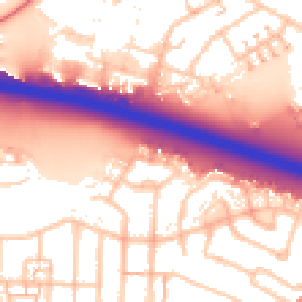
Daytime· 07:00 – 23:00
57.4dB

Night-time· 23:00 – 07:00
49.7dB