18 Ellesmere Road, Greenford, UB6 9ES
About 18 Ellesmere Road
18 Ellesmere Road is a four-bedroom mid-terrace house in Greenford (UB6 9ES). It has a recorded floor area of 57 m² (around 614 sq ft), construction records dating it to 1930-1949 and council tax band D. The latest certificate (March 2021) shows a C (score 76), near the top of the C band. The rating has held steady at C across 5 certificates since April 2011. Between certificates, roof efficiency went from Average to Very Good and window efficiency went from Average to Very Good. At 57 m² this is the 2nd smallest of 12 units on EPC record in the building, where floor areas span 38–99 m². The building's EPC ratings span F to B across 12 units on file. Other recorded features include a conservatory and outbuildings. Records show the property has been extended at some point in its history.
It hasn't traded since March 2004, a hold of 22 years that's notably long for the area. Today's modelled estimate of £384,000 sits 63.4% above the 2004 sale of £235,000. On a £-per-square-foot basis, the last sale (£383/sq ft) was about 31.8% above the typical sold price in the postcode. 3 planning records sit against the property, 3 approved, 0 refused. Past consents include an extension, subdivision and partial demolition, meaningful when judging how the property has evolved. At 57 m² it's 28.7% smaller than the typical home in the postcode (80 m² median across 11 EPCs).
Know exactly what you're buying at 18 Ellesmere Road
Before you offer, see what the listing won't tell you, the true value, the red flags and the full history.
Already flagged here
Valuation
against the asking price
Risks
planning & flood
Sold prices
similar homes nearby
Trends
the local market
What this property has
Inside
- Bedrooms4
- Bathrooms2
- EnsuiteYes
- ConservatoryYes
Outside
- Private gardenYes
- DrivewayYes
- OutbuildingsYes
Building
- Heating systemGas
- Previously extendedYes
Energy performance
18 Ellesmere Road's carbon output is low for the local stock.
EPC Rating
Property Improvements
Changes detected from historical EPC data
Heating controls upgraded for better temperature management
Window efficiency improved
More low energy lighting installed
High performance glazing installed
Cavity wall insulation installed
Floor insulation added or improved
Planning history
Council records show a subdivision application — the property's legal arrangement has been altered.
- Jun 2019ExtensionOutlineIn report
Extension: Single storey · Rear of property
Single storey rear extension (4m deep extending to max 5.95m deep and max 3m high) (42 Days Prior Approval Notification Process)
- Agent
- Plans 4 U Ltd
- Documents
- 8 docs on file
- Reference
- 192014PALHE
- May 2019SubdivisionFullIn report
Extension: Rear of property
Conversion of a dwellinghouse into 2 x self-contained residential units; single storey rear extension (following demolition of existing conservatory and rear extension); and provision of associated parking, refuse storage, amenity spaces and cycle storage
- Agent
- Plans 4 U Ltd
Extension- Documents
- 10 docs on file
- Reference
- 191261FUL
We flagged 1 thing worth checking at 18 Ellesmere Road
Independent checks surfaced things a buyer would want to understand before offering. The report explains each one in full, with the underlying data and what to ask.
- Signs of HMO activity in the area
30-day money-back guarantee
Sales history & valuation
18 Ellesmere Road valuation sits well clear of the typical sold price in this postcode.
£384,000
Modelled from EPC, postcode comparables.
£235,000
Recorded with HM Land Registry.
Sales timeline
11 March 2004Most recent
£235,000
Median price across the last 5 sales in UB6 9ES: £435,000 (2022–2015).
Nearby sales in UB6 9ES
Everything we know about 18 Ellesmere Road, in one report
What it's really worth, what could be wrong, and the planning, sales and area data in full.
What we flagged
- Signs of HMO activity in the area

Similar properties nearby
The neighbourhood at a glance
Reported crime in the wider district is trending notably upward year-on-year.
Crime
7/mo
Rising year-on-year across the wider district.
Nearest stop
0.3 km
Stanhope Road (UB6) — bus stop.
Closest school
0.1 km
Stanhope Primary School. 43 schools nearby.
Go deeper on the local area
The full report breaks down crime, transport links, schools and air quality in depth.
Road noise across the postcode
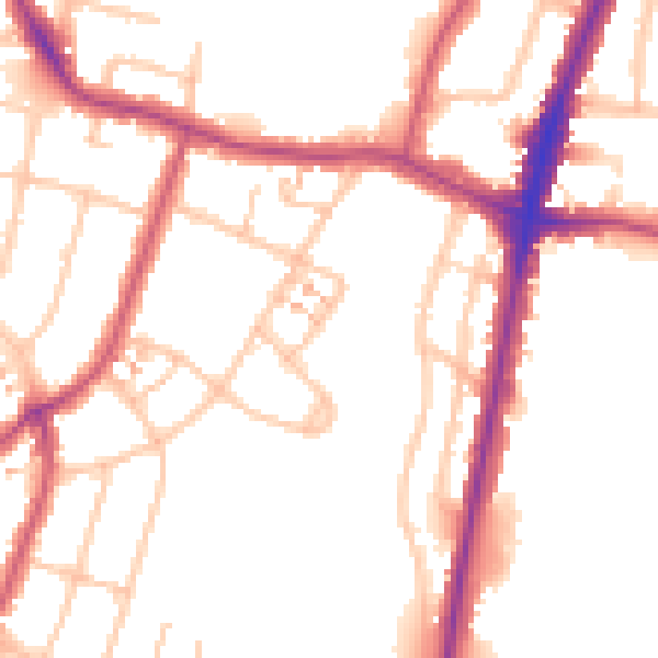
Daytime· 07:00 – 23:00
51.8dB

Night-time· 23:00 – 07:00
43.3dB