5 Barmouth Avenue, Perivale, Greenford, UB6 8JR
About 5 Barmouth Avenue
5 Barmouth Avenue is a property in Perivale, Greenford, Greenford (UB6 8JR). It has council tax band E.
Held since September 2004 — that's 22 years off the open market, well above the local norm. One planning record on file: an extension approved in 2015. Past consents include an extension, meaningful when judging how the property has evolved. Across 1997–2004, sale prices on this property compounded at 16% per year.
Know exactly what you're buying at 5 Barmouth Avenue
Before you offer, see what the listing won't tell you, the true value, the red flags and the full history.
Already flagged here
Valuation
against the asking price
Risks
planning & flood
Sold prices
similar homes nearby
Trends
the local market
Energy performance
No EPC on record
This property doesn't have an Energy Performance Certificate yet. An EPC is required to sell or let — and unlocks our automated valuation.
Planning history
5 Barmouth Avenue has an approved single-storey rear extension on the planning record.
- Jul 2015ExtensionOutlineIn report
Extension: Single storey · Rear of property
Single storey (max 4m deep and max 3.5m high) rear extension (42 day Prior Notification Process) (revised description)
- Documents
- 2 docs on file
- Reference
- PAN/2015/2585
We flagged 2 things worth checking at 5 Barmouth Avenue
Independent checks surfaced things a buyer would want to understand before offering. The report explains each one in full, with the underlying data and what to ask.
- Signs of HMO activity in the area
- Larger development activity nearby
30-day money-back guarantee
Sales history & valuation
5 Barmouth Avenue has more than tripled in price since its earliest registered sale in 1997.
£249,000
Growth on file: 16.0% per year over 7 years.
Sales timeline
8 September 2004Most recent
£249,000
+201.8%over 7 years7 April 1997
£82,500
Median price across the last 3 sales in UB6 8JR: £152,000 (2017–1995).
Everything we know about 5 Barmouth Avenue, in one report
What it's really worth, what could be wrong, and the planning, sales and area data in full.
What we flagged
- Signs of HMO activity in the area
- Larger development activity nearby

Similar properties nearby
The neighbourhood at a glance
Rail-style transport is unusually close for this postcode.
Crime
7/mo
Rising year-on-year across the wider district.
Nearest stop
0.1 km
Medway Parade — bus stop.
Closest school
0.3 km
Selborne Primary School. 35 schools nearby.
Go deeper on the local area
The full report breaks down crime, transport links, schools and air quality in depth.
Road noise across the postcode
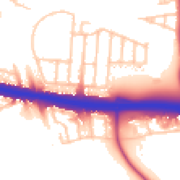
Daytime· 07:00 – 23:00
55.2dB

Night-time· 23:00 – 07:00
48.1dB