21 Lynmouth Road, Perivale, Greenford, UB6 7HP
About 21 Lynmouth Road
21 Lynmouth Road is a three-bedroom mid-terrace house in Perivale, Greenford, Greenford (UB6 7HP). It has a recorded floor area of 88 m² (around 947 sq ft), construction records dating it to 1900-1929 and council tax band D. The latest certificate (December 2020) shows a D (score 68), on the cusp of jumping into the C band. The rating has held steady at D across 2 certificates since October 2015. Between certificates, roof efficiency went from Average to Good. The recommended improvements would lift it to B (score 84), a 2-band jump. Records show the property has been extended at some point in its history.
At 88 m² it's 19.7% larger than the typical home in the postcode (74 m² median across 36 EPCs). Across 2017–2022, sale prices on this property compounded at 3.1% per year. On a £-per-square-foot basis, the last sale (£575/sq ft) was about 55.6% above the typical sold price in the postcode. Last sale on file: £545,000 in February 2022. That sale was during the post-pandemic price surge, when transactions cleared materially above pre-2020 trend.
Know exactly what you're buying at 21 Lynmouth Road
Before you offer, see what the listing won't tell you, the true value, the red flags and the full history.
Already flagged here
Valuation
against the asking price
Risks
planning & flood
Sold prices
similar homes nearby
Trends
the local market
What this property has
Inside
- Bedrooms3
- Bathrooms2
- EnsuiteYes
Outside
- Private gardenYes
- DrivewayYes
Building
- Previously extendedYes
Energy performance
Recommended upgrades on file would lift this property by multiple EPC bands.
EPC Rating
Property Improvements
Changes detected from historical EPC data
Heating controls upgraded for better temperature management
More low energy lighting installed
Planning history
21 Lynmouth Road has no planning applications on record.
Notable planning nearby
8applications of note in the surrounding area
We flagged 2 things worth checking at 21 Lynmouth Road
Independent checks surfaced things a buyer would want to understand before offering. The report explains each one in full, with the underlying data and what to ask.
- Signs of HMO activity in the area
- Larger development activity nearby
30-day money-back guarantee
Sales history & valuation
The latest sale landed in the post-pandemic price surge — useful context when reading the figure.
£599,000
Modelled from EPC, postcode comparables and a sale-price growth of 3.1% per year over 5 years.
£545,000
Growth on file: 3.1% per year over 5 years.
Sales timeline
23 February 2022Most recent
£545,000
+16.5%over 5 years30 January 2017
£468,000
Median price across the last 5 sales in UB6 7HP: £475,000 (2025–2018).
Nearby sales in UB6 7HP
16 Lynmouth Road, Perivale, Greenford, UB6 7HP
Sold Mar 2025
£516,00010 Lynmouth Road, Perivale, Greenford, UB6 7HP
Sold Dec 2021
£475,00036 Lynmouth Road, Perivale, Greenford, UB6 7HP
Sold Aug 2021
£523,0004 Lynmouth Road, Perivale, Greenford, UB6 7HP
Sold May 2020
£375,0001a, Lynmouth Road, Perivale, Greenford, UB6 7HP
Sold Oct 2018
£400,000
Everything we know about 21 Lynmouth Road, in one report
What it's really worth, what could be wrong, and the planning, sales and area data in full.
What we flagged
- Signs of HMO activity in the area
- Larger development activity nearby

Versus other Lynmouth Road homes
21 Lynmouth Road is notably below the street on years held.
Price per m²
£6,193
Street avg £5,139
Floor Area
88 m²
Street avg 86 m²
Habitable Rooms
5 rooms
Street avg 5 rooms
CO₂ Emissions
3.2 t/year
Street avg 3.6 t/year
Similar properties nearby
1 Lynmouth Gardens, Perivale
UB6 7HR
1 Lynmouth Road, Perivale
UB6 7HP
1 Buckingham Avenue, Perivale
UB6 7RA
1 Raven Tree House, Cecil Manning Close, Perivale
UB6 7FE
1 Greyhen House, Gilbert White Close, Perivale
UB6 7FG
1 Francis Road, Perivale
UB6 7AD
1 Doris Ashby Close, Perivale
UB6 7FD
1 Launceston Road, Perivale
UB6 7EX
The neighbourhood at a glance
Rail-style transport is unusually close for this postcode.
Crime
7/mo
Rising year-on-year across the wider district.
Nearest stop
0.1 km
Aintree Road — bus stop.
Closest school
0.4 km
St John Fisher Catholic Primary School. 33 schools nearby.
Go deeper on the local area
The full report breaks down crime, transport links, schools and air quality in depth.
Road noise across the postcode
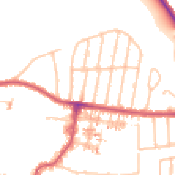
Daytime· 07:00 – 23:00
50.0dB

Night-time· 23:00 – 07:00
41.3dB