13a, Broadway, Kingston Road, Staines Upon Thames, TW18 1AT
About 13a
13a is a mid-terrace house in Staines Upon Thames (TW18 1AT). It has a recorded floor area of 125 m² (around 1345 sq ft), construction records dating it to 1930-1949 and council tax band C. The latest certificate (May 2014) shows an F (score 22), near the bottom of the EPC scale. The rating has held steady at F across 2 certificates since May 2009. Between certificates, window efficiency went from Poor to Average. The recommended improvements would lift it to C (score 69), a 3-band jump. Main heating runs on electricity. The latest certificate is from May 2014, so improvements made since then won't be reflected. At 125 m² this is the 17th smallest of 18 units on EPC record in the building, where floor areas span 40–125 m². The building's EPC ratings span F to C, with this unit at the bottom. On EPC score it ranks last in the building (22 versus a best of 75).
Across 2009–2010, sale prices on this property compounded at 1384.5% per year. Today's modelled estimate of £409,000 is 13% below the 2010 sale of £470,000, a rare downward gap that often correlates with deferred maintenance or unfinished works. On a £-per-square-foot basis, the last sale (£349/sq ft) was about 40.9% above the typical sold price in the postcode. Held since October 2010 — that's 16 years off the open market, well above the local norm. At 125 m² the property is well over the postcode median (89 m² across 17 EPCs), placing it in the larger end of the local stock. On energy efficiency it sits in the bottom 10% of properties in this postcode — significant headroom for improvement.
Know exactly what you're buying at 13a
Before you offer, see what the listing won't tell you, the true value, the red flags and the full history.
Already flagged here
Valuation
against the asking price
Risks
planning & flood
Sold prices
similar homes nearby
Trends
the local market
Energy performance
13a sits at the bottom of the postcode for energy efficiency — meaningful headroom to improve.
EPC Expired
This certificate is over 10 years old and is no longer valid.Expired 22 May 2024
EPC Rating
Property Improvements
Changes detected from historical EPC data
Heating controls changed
Windows upgraded, improving insulation
Planning history
13a has no planning applications on record.
Notable planning nearby
6applications of note in the surrounding area
We flagged 2 things worth checking at 13a
Independent checks surfaced things a buyer would want to understand before offering. The report explains each one in full, with the underlying data and what to ask.
- Signs of HMO activity in the area
- Recent ownership pattern worth a look
30-day money-back guarantee
Sales history & valuation
Latest sale on 13a was the highest on Land Registry record across the postcode.
£409,000
Modelled from EPC, postcode comparables and a sale-price growth of 1384.5% per year over 1 year.
£470,000
Growth on file: 1384.5% per year over 1 year.
Sales timeline
28 October 2010Most recent
£470,000
+2440.5%over 1 year16 August 2009
£18,500
Median price across the last 5 sales in TW18 1AT: £188,000 (2024–2019).
Nearby sales in TW18 1AT
11a, Broadway, Kingston Road, Staines Upon Thames, TW18 1AT
Sold Sept 2024
£420,0007b, Broadway, Kingston Road, Staines Upon Thames, TW18 1AT
Sold Oct 2023
£172,5008a, Broadway, Kingston Road, Staines Upon Thames, TW18 1AT
Sold Jun 2022
£365,00014 Broadway, Kingston Road, Staines Upon Thames, TW18 1AT
Sold Dec 2019
£188,0007a, Broadway, Kingston Road, Staines Upon Thames, TW18 1AT
Sold Sept 2019
£173,500
Everything we know about 13a, in one report
What it's really worth, what could be wrong, and the planning, sales and area data in full.
What we flagged
- Signs of HMO activity in the area
- Recent ownership pattern worth a look

Versus other Broadway homes
13a is notably below the street on epc rating.
Price per m²
£3,760
Street avg £4,207
Floor Area
125 m²
Street avg 75 m²
Habitable Rooms
5 rooms
Street avg 4 rooms
CO₂ Emissions
9.4 t/year
Street avg 3.5 t/year
Similar properties nearby
The neighbourhood at a glance
Rail-style transport is unusually close for this postcode.
Crime
8/mo
Steady year-on-year across the wider district.
Nearest stop
0.1 km
Worple Road — bus stop.
Closest school
0.6 km
The Matthew Arnold School. 13 schools nearby.
Go deeper on the local area
The full report breaks down crime, transport links, schools and air quality in depth.
Road noise across the postcode
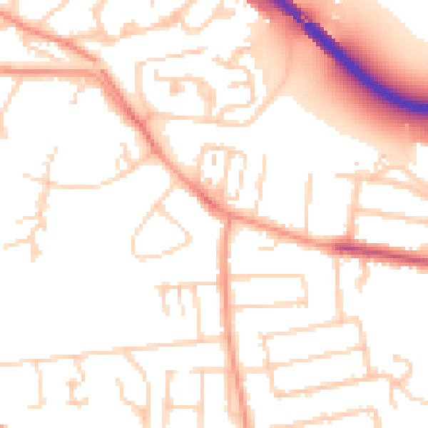
Daytime· 07:00 – 23:00
52.0dB

Night-time· 23:00 – 07:00
42.7dB