Flat, 20 Churchtown, St Agnes, TR5 0QW
About Flat
Flat is an end-of-terrace house in St Agnes (TR5 0QW). It has a recorded floor area of 99 m² (around 1066 sq ft), construction records dating it to before 1900 and council tax band B. The latest certificate (January 2014) shows an E (score 43), well below the UK norm with real room to improve. The recommended improvements would lift it to C (score 77), a 2-band jump. Main heating runs on oil. The latest certificate is from January 2014, so improvements made since then won't be reflected.
At 99 m² the property is well over the postcode median (61 m² across 15 EPCs), placing it in the larger end of the local stock. Today's modelled estimate of £249,000 sits 730% above the 2023 sale of £30,000. On a £-per-square-foot basis, the last sale (£28/sq ft) was about 89.8% below the postcode norm. Sold April 2023 for £30,000.
Everything you need to know about Flat
The true value, the hidden risks and the full sale history, in one report.
30-day money-back guarantee

The data behind every report


Energy performance
Flat's carbon output runs well above what efficient homes in the postcode produce.
EPC Expired
This certificate is over 10 years old and is no longer valid.Expired 27 Jan 2024
EPC Rating
Planning history
Flat has no planning applications on record.
Notable planning nearby
1applications of note in the surrounding area
We flagged 1 thing worth checking at Flat
Independent checks surfaced things a buyer would want to understand before offering. The report explains each one in full, with the underlying data and what to ask.
- Larger development activity nearby
30-day money-back guarantee
Sales history & valuation
Flat's modelled value sits at over four times its earliest registered sale price (2023).
£249,000
Modelled from EPC, postcode comparables.
£30,000
Recorded with HM Land Registry.
Sales timeline
10 April 2023Most recent
£30,000
Median price across the last 5 sales in TR5 0QW: £225,000 (2025–2021).
Versus other Churchtown homes
Flat is notably below the street on price per m².
Price per m²
£303
Street avg £3,411
Floor Area
99 m²
Street avg 51 m²
Habitable Rooms
4 rooms
Street avg 3 rooms
CO₂ Emissions
7.3 t/year
Street avg 2.6 t/year
Everything you need to know about Flat
The true value, the hidden risks and the full sale history, in one report.
30-day money-back guarantee
The data behind every report
Similar properties nearby
6b, Flat, Churchtown
TR5 0QW
Trearren, Flat 3, Vicarage Road
TR5 0TL
1 Trevaunance Flats, Trevaunance Cove
TR5 0SA
Flat, 68 Vicarage Road
TR5 0TH
57a, Flat, Vicarage Road
TR5 0TH
Flat, 15 Churchtown
TR5 0QW
Trearren, Flat 4, Vicarage Road
TR5 0TL
Trearren, Flat 2, Vicarage Road
TR5 0TL
The neighbourhood at a glance
Daytime road noise here sits well below conversation level — a quiet pocket of the postcode.
Crime
2/mo
Steady year-on-year across the wider district.
Nearest stop
0.1 km
Church — bus stop.
Closest school
0.2 km
St Agnes Academy. 2 schools nearby.
Go deeper on the local area
The full report breaks down crime, transport links, schools and air quality in depth.
Road noise across the postcode
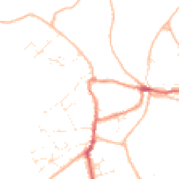
Daytime· 07:00 – 23:00
46.2dB

Night-time· 23:00 – 07:00
37.3dB