Trearren, Flat 2, Vicarage Road, St Agnes, TR5 0TL
About Trearren
Trearren is a one-bedroom mid-terrace house in St Agnes (TR5 0TL). It has a recorded floor area of 60 m² (around 646 sq ft), construction records dating it to 2003-2006 and council tax band A. Tenure is freehold. At 60 m² this is the smallest unit on EPC record across Trearren (60–100 m²). The building's EPC ratings span D to B across 6 units on file. The latest certificate (May 2023) shows a C (score 77), near the top of the C band. The rating has held steady at C across 2 certificates since August 2009. Between certificates, window efficiency went from Average to Good and lighting went from Good to Very Good. Main heating runs on oil.
Most recent transfer was January 2025 at £270,000 — fresh data. 7 planning records sit against the property, 4 approved, 3 refused. Past consents include subdivision and an extension, meaningful when judging how the property has evolved. The record references listed-building consent, which constrain future alterations. At 60 m² it sits well below the postcode median (93 m² across 22 EPCs), making it one of the more compact homes locally. Its energy rating outperforms most of the postcode (better than 86% of similar EPCs). Across 2018–2025, sale prices on this property compounded at 3.9% per year. On a £-per-square-foot basis, the last sale (£418/sq ft) was about 80.2% above the typical sold price in the postcode.
What this property has
Inside
- Bedrooms1
- Bathrooms1
Outside
- Private gardenYes
- ParkingAllocated
Building
- TenureFreehold
- Heating systemOil
Everything you need to know about Trearren
The true value, the hidden risks and the full sale history, in one report.
30-day money-back guarantee

The data behind every report


Energy performance
EPC Rating
Property Improvements
Changes detected from historical EPC data
Window efficiency improved
Floor insulation added or improved
More low energy lighting installed
Planning history
Council records show a subdivision application — the property's legal arrangement has been altered.
- Jun 2022HeritageIn report
Listed Building Consent for the repointing of the existing chimney stack with lime-based mortar.
- Agent
- Alfie Robinson Heritage
Listed- Documents
- 8 docs on file
- Reference
- PA22/01872
- Feb 2010SubdivisionFullIn report
Formation of separate dwelling, conversion within existing extension sites: 250574,
- Documents
- 16 docs on file
- Reference
- C1/PA25/1789/09/R
We flagged 1 thing worth checking at Trearren
Independent checks surfaced things a buyer would want to understand before offering. The report explains each one in full, with the underlying data and what to ask.
- Larger development activity nearby
30-day money-back guarantee
Sales history & valuation
£278,000
Modelled from EPC, postcode comparables and a sale-price growth of 3.9% per year over 6 years.
£270,000
Growth on file: 3.9% per year over 6 years.
Sales timeline
10 January 2025Most recent
£270,000
+26.8%over 6 years1 November 2018
£213,000
Median price across the last 5 sales in TR5 0TL: £495,000 (2025–2020).
Nearby sales in TR5 0TL
Versus other Vicarage Road homes
Trearren outperforms the street on price per m² by a wide margin.
Price per m²
£4,500
Street avg £2,720
Floor Area
60 m²
Street avg 79 m²
Habitable Rooms
2 rooms
Street avg 4 rooms
CO₂ Emissions
1.9 t/year
Street avg 4.5 t/year
Everything you need to know about Trearren
The true value, the hidden risks and the full sale history, in one report.
30-day money-back guarantee
The data behind every report
Similar properties nearby
Trearren, Flat 1, Vicarage Road
TR5 0TL
Trearren, Flat 4, Vicarage Road
TR5 0TL
1 Trevaunance Flats, Trevaunance Cove
TR5 0SA
Trearren, Flat 3, Vicarage Road
TR5 0TL
1a Trevaunance Flats, Trevaunance Cove
TR5 0SA
Smugglers Chest, Flat 2, Quay Road
TR5 0RS
Freshwinds, Flat, Penwinnick Road
TR5 0PA
Flat, 15 Churchtown
TR5 0QW
The neighbourhood at a glance
Daytime road noise here sits well below conversation level — a quiet pocket of the postcode.
Crime
2/mo
Steady year-on-year across the wider district.
Nearest stop
0.1 km
Institute — bus stop.
Closest school
0.3 km
St Agnes Academy. 2 schools nearby.
Go deeper on the local area
The full report breaks down crime, transport links, schools and air quality in depth.
Road noise across the postcode
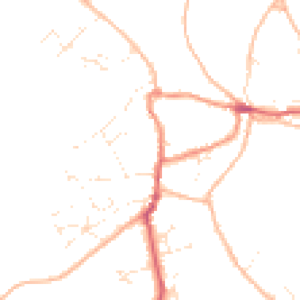
Daytime· 07:00 – 23:00
46.3dB

Night-time· 23:00 – 07:00
37.5dB