Flat, 68 Vicarage Road, St Agnes, TR5 0TH
About Flat
Flat is a detached house in St Agnes (TR5 0TH). It has a recorded floor area of 90 m² (around 969 sq ft), construction records dating it to 1900-1929 and council tax band A. The latest certificate (October 2021) shows an E (score 39), well below the UK norm with real room to improve. The recommended improvements would push it to D (score 61). Main heating runs on electricity.
At 90 m² the property is well over the postcode median (65 m² across 9 EPCs), placing it in the larger end of the local stock.
Everything you need to know about Flat
The true value, the hidden risks and the full sale history, in one report.
30-day money-back guarantee

The data behind every report


Energy performance
Flat's carbon output runs well above what efficient homes in the postcode produce.
EPC Rating
Planning history
Flat has no planning applications on record.
Notable planning nearby
1applications of note in the surrounding area
We flagged 1 thing worth checking at Flat
Independent checks surfaced things a buyer would want to understand before offering. The report explains each one in full, with the underlying data and what to ask.
- Larger development activity nearby
30-day money-back guarantee
Sales history & valuation
Flat has no Land Registry sales on file, suggesting it has stayed in the same hands since registration began.
£238,000
Modelled from EPC, postcode comparables.
No sales recorded with HM Land Registry
That can mean the property has never traded since the registry began publishing in 1995, was a new build that hasn't been registered yet, or is held in the same hands long-term.
Median price across the last 5 sales in TR5 0TH: £250,000 (2023–2016).
Nearby sales in TR5 0TH
Everything you need to know about Flat
The true value, the hidden risks and the full sale history, in one report.
30-day money-back guarantee
The data behind every report
Similar properties nearby
57a, Flat, Vicarage Road
TR5 0TH
Trearren, Flat 3, Vicarage Road
TR5 0TL
Flat, 20 Churchtown
TR5 0QW
Trearren, Flat 4, Vicarage Road
TR5 0TL
6b, Flat, Churchtown
TR5 0QW
1 Trevaunance Flats, Trevaunance Cove
TR5 0SA
Flat 2, 5 Churchtown
TR5 0QW
Flat, 15 Churchtown
TR5 0QW
The neighbourhood at a glance
Daytime road noise here sits well below conversation level — a quiet pocket of the postcode.
Crime
2/mo
Steady year-on-year across the wider district.
Nearest stop
0.1 km
Institute — bus stop.
Closest school
0.4 km
St Agnes Academy. 3 schools nearby.
Go deeper on the local area
The full report breaks down crime, transport links, schools and air quality in depth.
Road noise across the postcode
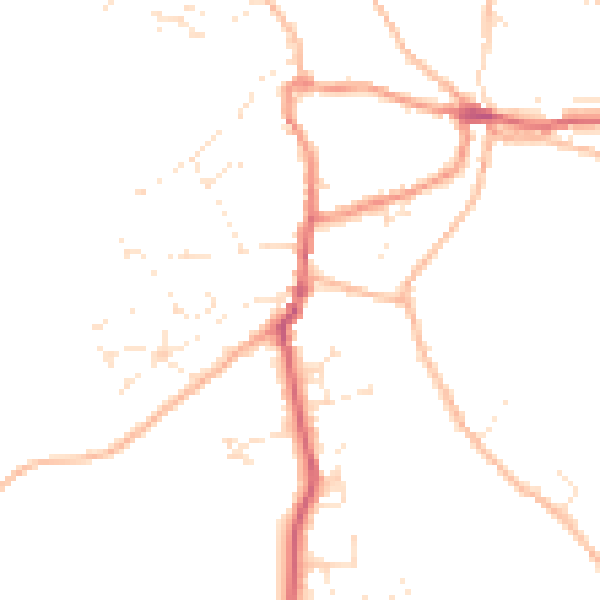
Daytime· 07:00 – 23:00
46.1dB

Night-time· 23:00 – 07:00
37.8dB