18a, Norman Close, Kemsing, Sevenoaks, TN15 6SF
About 18a
18a is a detached house in Kemsing, Sevenoaks, Sevenoaks (TN15 6SF). It has a recorded floor area of 105 m² (around 1130 sq ft). The latest certificate (May 2016) returns a high B (score 85), putting the home a stone's throw from an A rating. The recommended improvements would push it to A (score 95). The latest certificate is from May 2016, so improvements made since then won't be reflected.
At 105 m² the property is well over the postcode median (78 m² across 30 EPCs), placing it in the larger end of the local stock. On energy efficiency it sits in the top 10% of properties in this postcode. One planning record on file: an extension approved in 2021. Past consents include an extension and partial demolition, meaningful when judging how the property has evolved. Across 2016–2021, sale prices on this property compounded at 2.1% per year. Today's modelled estimate of £528,000 is 27.5% above the 2021 sale price. On a £-per-square-foot basis, the last sale (£366/sq ft) was about 69% above the typical sold price in the postcode. Last sale on file: £414,000 in April 2021. That sale was during the post-pandemic price surge, when transactions cleared materially above pre-2020 trend.
Know exactly what you're buying at 18a
Before you offer, see what the listing won't tell you, the true value, the red flags and the full history.
Valuation
against the asking price
Risks
planning & flood
Sold prices
similar homes nearby
Trends
the local market
Energy performance
18a ranks among the most efficient homes in the postcode for energy use.
EPC Expired
This certificate is over 10 years old and is no longer valid.Expired 19 May 2026
EPC Rating
Planning history
Planning history includes recorded demolition works, indicating a major rebuild phase at this address.
- Dec 2021DemolitionFullIn report
Extension: Side and rear of property
Single storey side and rear extension and enlargement of an existing rear roof dormer. Demolition of existing conservatory
Extension- Documents
- 7 docs on file
- Reference
- 21/03455/HOUSE
What's in 18a, Norman Close, Kemsing, Sevenoaks, TN15 6SF's planning history?
Refusals, disputes and full decisions on this property and nearby, in the report.
Sales history & valuation
The latest sale landed in the post-pandemic price surge — useful context when reading the figure.
£528,000
Modelled from EPC, postcode comparables and a sale-price growth of 2.1% per year over 5 years.
£414,000
Growth on file: 2.1% per year over 5 years.
Sales timeline
27 April 2021Most recent
£414,000
+10.4%over 4 years26 July 2016
£375,000
Median price across the last 5 sales in TN15 6SF: £320,000 (2024–2017).
Nearby sales in TN15 6SF
23 Norman Close, Kemsing, Sevenoaks, TN15 6SF
Sold Oct 2024
£410,00022 Norman Close, Kemsing, Sevenoaks, TN15 6SF
Sold Nov 2021
£310,00025 Norman Close, Kemsing, Sevenoaks, TN15 6SF
Sold Jun 2021
£320,000The Croft, Norman Close, Kemsing, Sevenoaks, TN15 6SF
Sold Jul 2017
£441,00531 Norman Close, Kemsing, Sevenoaks, TN15 6SF
Sold Sept 2016
£342,000
Everything we know about 18a, in one report
What it's really worth, what could be wrong, and the planning, sales and area data in full.
- Am I paying too much?
- Is something wrong with it?
- Is the agent's story true?
- Will it hold its value?

Versus other Norman Close homes
18a outperforms the street on epc rating by a wide margin.
Price per m²
£3,943
Street avg £3,364
Floor Area
105 m²
Street avg 87 m²
CO₂ Emissions
1.5 t/year
Street avg 2.9 t/year
Years Held
5 years
Street avg 11 years
Similar properties nearby
1 Blackberry Barn, Birchin Cross Road, Knatts Valley
TN15 6XH
1 Brookfield, Kemsing
TN15 6SQ
1 Ash Tree Close, West Kingsdown
TN15 6JA
1 Ash Tree Court, Ash Tree Drive, West Kingsdown
TN15 6LT
1 Astor Road, West Kingsdown
TN15 6HH
1 Church Road, West Kingsdown
TN15 6LL
1 Cleves Road, Kemsing
TN15 6RX
1 Boleyn Road, Kemsing
TN15 6RY
The neighbourhood at a glance
Rail-style transport is unusually close for this postcode.
Crime
3/mo
Steady year-on-year across the wider district.
Nearest stop
0.3 km
Oxenhill Road — bus stop.
Closest school
1.4 km
Otford Primary School. 7 schools nearby.
Go deeper on the local area
The full report breaks down crime, transport links, schools and air quality in depth.
Road noise across the postcode
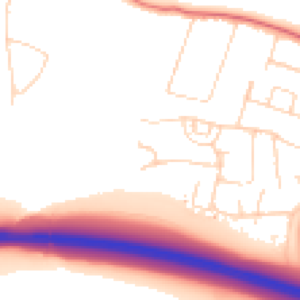
Daytime· 07:00 – 23:00
53.0dB

Night-time· 23:00 – 07:00
46.1dB