17 Noahs Ark, Kemsing, Sevenoaks, TN15 6PA
About 17 Noahs Ark
17 Noahs Ark is a two-bedroom mid-terrace house in Kemsing, Sevenoaks, Sevenoaks (TN15 6PA). It has a recorded floor area of 55 m² (around 596 sq ft), construction records dating it to 1900-1929 and council tax band C. The latest certificate (October 2010) shows a C (score 77), near the top of the C band. When first surveyed in November 2009 the rating was G, the property has climbed 4 bands since. Between certificates, roof efficiency went from Very Poor to Good, window efficiency went from Very Poor to Good and hot-water efficiency went from Very Poor to Very Good; while wall efficiency dropped from Poor to Very Poor. The latest certificate is from October 2010, so improvements made since then won't be reflected.
At 55 m² it's 16% smaller than the typical home in the postcode (66 m² median across 31 EPCs). Its energy rating outperforms most of the postcode (better than 81% of similar EPCs). Across 2010–2014, sale prices on this property compounded at 8.9% per year. Today's modelled estimate of £353,000 is 41.8% above the 2014 sale price. On a £-per-square-foot basis, the last sale (£418/sq ft) was about 29.9% above the typical sold price in the postcode. 12 years since the last transfer (July 2014).
Know exactly what you're buying at 17 Noahs Ark
Before you offer, see what the listing won't tell you, the true value, the red flags and the full history.
Valuation
against the asking price
Risks
planning & flood
Sold prices
similar homes nearby
Trends
the local market
What this property has
Inside
- Bedrooms2
- Bathrooms1
- Dining roomYes
- Utility roomYes
- CloakroomYes
Outside
- Private gardenYes
- ParkingOff road
Building
- Heating systemGas
Energy performance
17 Noahs Ark's EPC is over a decade old — improvements since won't be reflected.
EPC Expired
This certificate is over 10 years old and is no longer valid.Expired 10 Oct 2020
EPC Rating
Property Improvements
Changes detected from historical EPC data
Upgraded to gas central heating
Switched from solid fuel to cleaner energy source
Heating controls upgraded for better temperature management
Hot water system upgraded
Single glazing replaced with double or better glazing
Roof insulation improved
More low energy lighting installed
Planning history
17 Noahs Ark has no planning applications on record.
The full report still covers planning activity across the surrounding area.
Sales history & valuation
17 Noahs Ark saw 3 transfers in just over a decade — high turnover for the postcode.
£353,000
Modelled from EPC, postcode comparables and a sale-price growth of 8.9% per year over 4 years.
£249,000
Growth on file: 8.9% per year over 4 years.
Sales timeline
10 July 2014Most recent
£249,000
+21.5%over 3 years25 April 2011
£205,000
+19.2%over 1 year12 March 2010
£172,000
Median price across the last 5 sales in TN15 6PA: £369,500 (2025–2022).
Nearby sales in TN15 6PA
53 Noahs Ark, Kemsing, Sevenoaks, TN15 6PA
Sold Jul 2025
£369,5009 Noahs Ark, Kemsing, Sevenoaks, TN15 6PA
Sold May 2025
£320,57213 Noahs Ark, Kemsing, Sevenoaks, TN15 6PA
Sold May 2025
£438,50067 Noahs Ark, Kemsing, Sevenoaks, TN15 6PA
Sold Jan 2025
£360,00027 Noahs Ark, Kemsing, Sevenoaks, TN15 6PA
Sold Dec 2022
£450,000
Everything we know about 17 Noahs Ark, in one report
What it's really worth, what could be wrong, and the planning, sales and area data in full.
- Am I paying too much?
- Is something wrong with it?
- Is the agent's story true?
- Will it hold its value?

Versus other Noahs Ark homes
17 Noahs Ark outperforms the street on epc rating by a wide margin.
Price per m²
£4,495
Street avg £4,250
Floor Area
55 m²
Street avg 76 m²
Habitable Rooms
3 rooms
Street avg 4 rooms
CO₂ Emissions
1.8 t/year
Street avg 4.1 t/year
Similar properties nearby
1 Bennetts Avenue, West Kingsdown
TN15 6AT
1 Boleyn Road, Kemsing
TN15 6RY
1 Astor Road, West Kingsdown
TN15 6HH
1 Brookfield, Kemsing
TN15 6SQ
1 Church Road, West Kingsdown
TN15 6LL
1 Childsbridge Lane, Kemsing
TN15 6TH
1 Beacon Row, London Road, West Kingsdown
TN15 6HT
1 Birchway, West Kingsdown
TN15 6JZ
The neighbourhood at a glance
Crime
3/mo
Steady year-on-year across the wider district.
Nearest stop
0.2 km
Greenlands Road — bus stop.
Closest school
1.0 km
Kemsing Primary School. 4 schools nearby.
Go deeper on the local area
The full report breaks down crime, transport links, schools and air quality in depth.
Road noise across the postcode
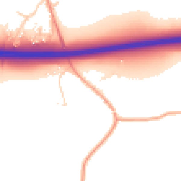
Daytime· 07:00 – 23:00
54.0dB

Night-time· 23:00 – 07:00
47.9dB