19 Yates Way, Ketley Bank, Telford, TF2 0AZ
About 19 Yates Way
19 Yates Way is a semi-detached house in Ketley Bank, Telford, Telford (TF2 0AZ). It has a recorded floor area of 61 m² (around 657 sq ft), construction records dating it to 1967-1975 and council tax band B. The latest certificate (March 2025) shows a C (score 71). The rating has held steady at C across 3 certificates since October 2010. Between certificates, wall efficiency dropped from Good to Average and roof efficiency dropped from Very Good to Good. The recommended improvements would push it to B (score 89).
Know exactly what you're buying at 19 Yates Way
Before you offer, see what the listing won't tell you, the true value, the red flags and the full history.
Valuation
against the asking price
Risks
planning & flood
Sold prices
similar homes nearby
Trends
the local market
Energy performance
EPC Rating
Property Improvements
Changes detected from historical EPC data
Hot water efficiency decreased
Planning history
19 Yates Way has no planning applications on record.
The full report still covers planning activity across the surrounding area.
Sales history & valuation
19 Yates Way has no Land Registry sales on file, suggesting it has stayed in the same hands since registration began.
£163,000
Modelled from EPC, postcode comparables.
No sales recorded with HM Land Registry
That can mean the property has never traded since the registry began publishing in 1995, was a new build that hasn't been registered yet, or is held in the same hands long-term.
Median price across the last 5 sales in TF2 0AZ: £138,000 (2024–2019).
Nearby sales in TF2 0AZ
1 Yates Way, Ketley Bank, Telford, TF2 0AZ
Sold Mar 2024
£162,00025 Yates Way, Ketley Bank, Telford, TF2 0AZ
Sold Dec 2023
£205,00011 Yates Way, Ketley Bank, Telford, TF2 0AZ
Sold Jun 2021
£126,00022 Yates Way, Ketley Bank, Telford, TF2 0AZ
Sold Feb 2021
£138,0003 Yates Way, Ketley Bank, Telford, TF2 0AZ
Sold Nov 2016
£120,000
Everything we know about 19 Yates Way, in one report
What it's really worth, what could be wrong, and the planning, sales and area data in full.
- Am I paying too much?
- Is something wrong with it?
- Is the agent's story true?
- Will it hold its value?

Versus other Yates Way homes
19 Yates Way is notably below the street on floor area.
EPC Rating
71 (C)
Street avg 71 (C)
Floor Area
61 m²
Street avg 63 m²
CO₂ Emissions
2.4 t/year
Street avg 2.4 t/year
Habitable Rooms
3 rooms
Street avg 3 rooms
Similar properties nearby
1 Fifth Avenue, Ketley Bank
TF2 0AT
1 First Avenue, Ketley Bank
TF2 0AH
1 Second Avenue, Ketley Bank
TF2 0AL
1 Frizes Leasowe, Ketley Bank
TF2 0EY
1 Greyhound Hill, Ketley Bank
TF2 0BW
1 Queenswood Close, Ketley Bank
TF2 0BB
1 Hill Top Apartments, Dukes Hill, Ketley Bank
TF2 0DB
1 Sixth Avenue, Ketley Bank
TF2 0AX
The neighbourhood at a glance
Rail-style transport is unusually close for this postcode.
Crime
7/mo
Steady year-on-year across the wider district.
Nearest stop
0.1 km
Post Office — bus stop.
Closest school
0.2 km
Lantern Academy. 23 schools nearby.
Go deeper on the local area
The full report breaks down crime, transport links, schools and air quality in depth.
Road noise across the postcode
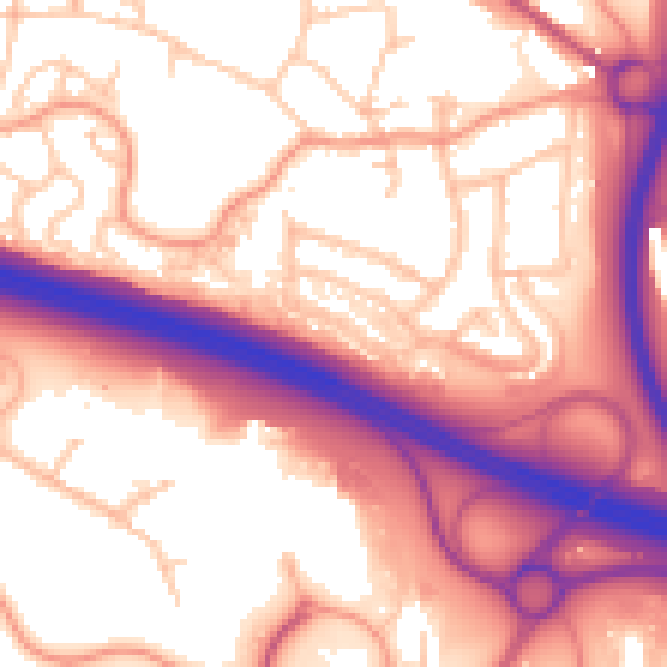
Daytime· 07:00 – 23:00
58.5dB

Night-time· 23:00 – 07:00
49.7dB