20 Elmwood Road, Arleston, Telford, TF1 2NT
About 20 Elmwood Road
20 Elmwood Road is an end-of-terrace house in Arleston, Telford, Telford (TF1 2NT). It has a recorded floor area of 108 m² (around 1163 sq ft), construction records dating it to 2007 onwards and council tax band C. The latest certificate (January 2020) shows a C (score 78), near the top of the C band. Earlier certificates rated it B (December 2009); the latest reading is one band lower. Between certificates, lighting went from Average to Good; while roof efficiency dropped from Very Good to Good and hot-water efficiency dropped from Very Good to Good. The recommended improvements would push it to B (score 89).
Know exactly what you're buying at 20 Elmwood Road
Before you offer, see what the listing won't tell you, the true value, the red flags and the full history.
Valuation
against the asking price
Risks
planning & flood
Sold prices
similar homes nearby
Trends
the local market
Energy performance
EPC Rating
Property Improvements
Changes detected from historical EPC data
Hot water efficiency decreased
Wall insulation upgraded
Floor insulation added or improved
More low energy lighting installed
Planning history
20 Elmwood Road has no planning applications on record.
Notable planning nearby
2applications of note in the surrounding area
Sales history & valuation
20 Elmwood Road has no Land Registry sales on file, suggesting it has stayed in the same hands since registration began.
£229,000
Modelled from EPC, postcode comparables.
No sales recorded with HM Land Registry
That can mean the property has never traded since the registry began publishing in 1995, was a new build that hasn't been registered yet, or is held in the same hands long-term.
Median price across the last 5 sales in TF1 2NT: £210,000 (2025–2022).
Nearby sales in TF1 2NT
92 Elmwood Road, Arleston, Telford, TF1 2NT
Sold Oct 2025
£115,0005 Elmwood Road, Arleston, Telford, TF1 2NT
Sold Apr 2025
£215,00098 Elmwood Road, Arleston, Telford, TF1 2NT
Sold Mar 2024
£96,50041 Elmwood Road, Arleston, Telford, TF1 2NT
Sold Nov 2022
£255,00032 Elmwood Road, Arleston, Telford, TF1 2NT
Sold Aug 2022
£210,000
Everything we know about 20 Elmwood Road, in one report
What it's really worth, what could be wrong, and the planning, sales and area data in full.
- Am I paying too much?
- Is something wrong with it?
- Is the agent's story true?
- Will it hold its value?

Versus other Elmwood Road homes
Habitable Rooms for 20 Elmwood Road lags the street by a wide margin.
EPC Rating
78 (C)
Street avg 80 (C)
Floor Area
108 m²
Street avg 111 m²
CO₂ Emissions
2.5 t/year
Street avg 2.4 t/year
Habitable Rooms
5 rooms
Street avg 6 rooms
Similar properties nearby
1 Christie Way, Wellington
TF1 2GJ
1 Chartwell Road, Arleston
TF1 2LR
1 Avondale Road, Wellington
TF1 2HD
1 Burgess Road, Wellington
TF1 2GD
1 Birch Coppice, Wellington
TF1 2FD
1 Barn Farm Drive, Wellington
TF1 2FB
1 Beddows Close, Wellington
TF1 2FW
1 Brambles Walk, Wellington
TF1 2ED
The neighbourhood at a glance
Crime
5/mo
Steady year-on-year across the wider district.
Nearest stop
0.1 km
Churchill Road — bus stop.
Closest school
0.2 km
Short Wood Primary School. 15 schools nearby.
Go deeper on the local area
The full report breaks down crime, transport links, schools and air quality in depth.
Road noise across the postcode
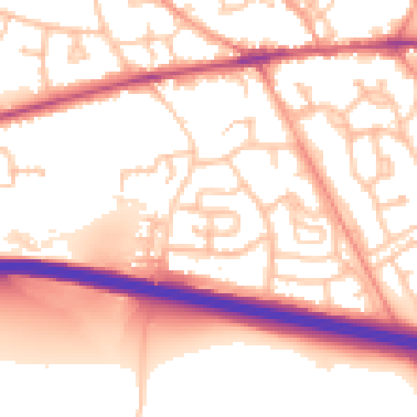
Daytime· 07:00 – 23:00
55.3dB

Night-time· 23:00 – 07:00
44.6dB