11 Crossbill Road, Shrewsbury, SY3 9FF
About 11 Crossbill Road
11 Crossbill Road is a four-bedroom detached house in Shrewsbury (SY3 9FF). It has a recorded floor area of 113 m² (around 1216 sq ft). The latest certificate (April 2017) returns a B (score 84), comfortably above the UK average. The recommended improvements would push it to A (score 94). The property has solar panels on record, all of which lower running costs and tend to lift resale appeal.
Across 2017–2022, sale prices on this property compounded at 5.5% per year. On a £-per-square-foot basis, the last sale (£352/sq ft) was about 32% above the typical sold price in the postcode. Last sale on file: £428,000 in November 2022. That sale was during the post-pandemic price surge, when transactions cleared materially above pre-2020 trend.
What this property has
Inside
- Bedrooms4
- Bathrooms2
- Dining roomYes
- EnsuiteYes
Outside
- Private gardenYes
- GarageYes
Building
- Central heatingYes
- Solar panelsYes
- RefurbishedYes
Everything you need to know about 11 Crossbill Road
The true value, the hidden risks and the full sale history, in one report.
30-day money-back guarantee

The data behind every report


Energy performance
EPC Rating
Planning history
11 Crossbill Road has no planning applications on record.
Notable planning nearby
2applications of note in the surrounding area
We flagged 1 thing worth checking at 11 Crossbill Road
Independent checks surfaced things a buyer would want to understand before offering. The report explains each one in full, with the underlying data and what to ask.
- Larger development activity nearby
30-day money-back guarantee
Sales history & valuation
The latest sale landed in the post-pandemic price surge — useful context when reading the figure.
£447,000
Modelled from EPC, postcode comparables and a sale-price growth of 5.5% per year over 6 years.
£428,000
Growth on file: 5.5% per year over 6 years.
Sales timeline
30 November 2022Most recent
£428,000
+34.2%over 5 years24 May 2017
£318,950
Median price across the last 5 sales in SY3 9FF: £312,000 (2025–2019).
Nearby sales in SY3 9FF
Versus other Crossbill Road homes
On price per m², 11 Crossbill Road stands well clear of the street.
Price per m²
£3,788
Street avg £2,929
Floor Area
113 m²
Street avg 104 m²
CO₂ Emissions
1.8 t/year
Street avg 1.8 t/year
Years Held
4 years
Street avg 8 years
Everything you need to know about 11 Crossbill Road
The true value, the hidden risks and the full sale history, in one report.
30-day money-back guarantee
The data behind every report
Similar properties nearby
1 Coolock Close
SY3 9QD
1 Alexandra Avenue
SY3 9HT
1 Bank Drive West
SY3 9DJ
1 Carnforth Close
SY3 9QW
1 Dormouse Way
SY3 9FD
1 Applewood Close
SY3 9GA
1 Dunedin Drive
SY3 9BH
1 Chatford Drive
SY3 9PG
The neighbourhood at a glance
Daytime road noise here sits well below conversation level — a quiet pocket of the postcode.
Crime
9/mo
Steady year-on-year across the wider district.
Nearest stop
1.1 km
Wenlock Edge House — bus stop.
Closest school
0.6 km
Bowbrook Primary School. 11 schools nearby.
Go deeper on the local area
The full report breaks down crime, transport links, schools and air quality in depth.
Road noise across the postcode
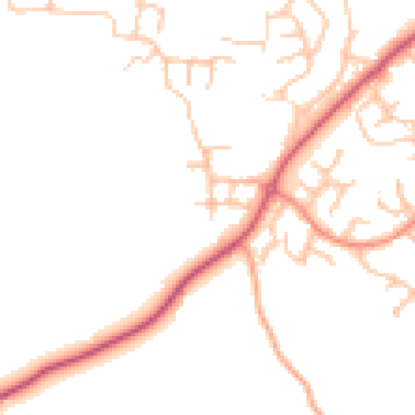
Daytime· 07:00 – 23:00
47.9dB

Night-time· 23:00 – 07:00
39.0dB