5 Downey Ridge, Bayston Hill, Shrewsbury, SY3 0BF
About 5 Downey Ridge
5 Downey Ridge is a property in Bayston Hill, Shrewsbury, Shrewsbury (SY3 0BF). It has a recorded floor area of 100 m² (around 1076 sq ft) and council tax band D. The latest certificate (November 2016) returns a B (score 82), comfortably above the UK average. The recommended improvements would push it to A (score 92).
10 years since the last transfer (November 2016). At 100 m² it's 16.7% smaller than the typical home in the postcode (120 m² median across 9 EPCs). Today's modelled estimate of £340,000 is 23.7% above the 2016 sale price.
Everything you need to know about 5 Downey Ridge
The true value, the hidden risks and the full sale history, in one report.
30-day money-back guarantee

The data behind every report


Energy performance
EPC Rating
Planning history
5 Downey Ridge has no planning applications on record.
The full report still covers planning activity across the surrounding area.
Sales history & valuation
£340,000
Modelled from EPC, postcode comparables.
£274,950
Recorded with HM Land Registry.
Sales timeline
18 November 2016Most recent
£274,950
Median price across the last 5 sales in SY3 0BF: £120,000 (2024–2019).
Nearby sales in SY3 0BF
2 Downey Ridge, Bayston Hill, Shrewsbury, SY3 0BF
Sold Jun 2024
£120,0007 Downey Ridge, Bayston Hill, Shrewsbury, SY3 0BF
Sold Jun 2023
£418,0008 Downey Ridge, Bayston Hill, Shrewsbury, SY3 0BF
Sold May 2023
£410,0003 Downey Ridge, Bayston Hill, Shrewsbury, SY3 0BF
Sold Feb 2022
£80,50010 Downey Ridge, Bayston Hill, Shrewsbury, SY3 0BF
Sold Feb 2019
£366,000
Versus other Downey Ridge homes
5 Downey Ridge outperforms the street on years held by a wide margin.
Price per m²
£2,750
Street avg £2,463
Floor Area
100 m²
Street avg 119 m²
CO₂ Emissions
1.9 t/year
Street avg 2.2 t/year
Years Held
10 years
Street avg 6 years
Everything you need to know about 5 Downey Ridge
The true value, the hidden risks and the full sale history, in one report.
30-day money-back guarantee
The data behind every report
Similar properties nearby
1 Berwyn Drive, Bayston Hill
SY3 0JF
1 Butcher Lane, Lythwood Road, Bayston Hill
SY3 0LZ
1 Brookfield, Bayston Hill
SY3 0LQ
1 Clarkefields, Bayston Hill
SY3 0ES
1 Eric Lock Road, Bayston Hill
SY3 0HQ
1 Downey Ridge, Bayston Hill
SY3 0BF
1 Chestnut Drive, Bayston Hill
SY3 0QQ
1 Betley Villas, Betley Lane, Bayston Hill
SY3 0HE
The neighbourhood at a glance
Crime
9/mo
Steady year-on-year across the wider district.
Closest school
0.5 km
Oakmeadow Church of England Primary and Nursery School. 6 schools nearby.
Go deeper on the local area
The full report breaks down crime, transport links, schools and air quality in depth.
Road noise across the postcode
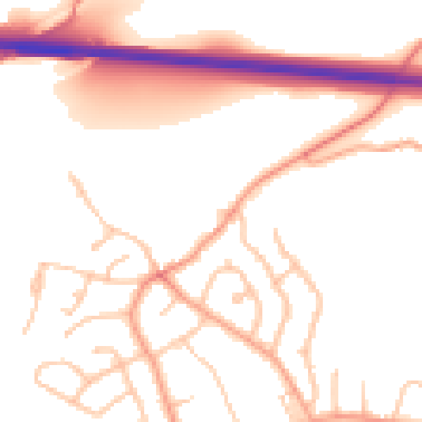
Daytime· 07:00 – 23:00
51.8dB

Night-time· 23:00 – 07:00
41.0dB