13 Underdale Road, Shrewsbury, SY2 5DL
About 13 Underdale Road
13 Underdale Road is a property in Shrewsbury (SY2 5DL). It has council tax band D.
It hasn't traded since July 1999, a hold of 27 years that's notably long for the area. Only one transfer is on record with HM Land Registry, suggesting it has stayed in the same hands for a long time. 5 planning records sit against the property, 2 approved, 0 refused. Past consents include an extension and partial demolition, meaningful when judging how the property has evolved. The record references conservation-area consent, which constrain future alterations.
Everything you need to know about 13 Underdale Road
The true value, the hidden risks and the full sale history, in one report.
30-day money-back guarantee

The data behind every report


Energy performance
No EPC on record
This property doesn't have an Energy Performance Certificate yet. An EPC is required to sell or let — and unlocks our automated valuation.
Planning history
Planning history includes recorded demolition works, indicating a major rebuild phase at this address.
- Mar 2025Tree WorksTreesIn report
Reduce height to approx. 12-15 ft of 1no. Holly within Shrewsbury Conservation Area
- Council
- No Data
Conservation Area- Documents
- 2 docs on file
- Reference
- 25/00738/TCA
- Apr 2021Tree WorksTreesIn report
Fell 1no Ash Tree within Shrewsbury Conservation Area
- Documents
- 1 doc on file
- Reference
- 21/00833/TCA
We flagged 1 thing worth checking at 13 Underdale Road
Independent checks surfaced things a buyer would want to understand before offering. The report explains each one in full, with the underlying data and what to ask.
- Larger development activity nearby
30-day money-back guarantee
Sales history & valuation
13 Underdale Road has been held in the same hands since before 2000.
£89,950
Recorded with HM Land Registry.
Sales timeline
11 July 1999Most recent
£89,950
Median price across the last 5 sales in SY2 5DL: £595,000 (2024–2007).
Nearby sales in SY2 5DL
Everything you need to know about 13 Underdale Road
The true value, the hidden risks and the full sale history, in one report.
30-day money-back guarantee
The data behind every report
Similar properties nearby
The neighbourhood at a glance
Rail-style transport is unusually close for this postcode.
Crime
1/mo
Steady year-on-year across the wider district.
Nearest stop
0.7 km
Shrewsbury Rail Station — railway station.
Closest school
0.8 km
Crowmoor Primary School. 22 schools nearby.
Go deeper on the local area
The full report breaks down crime, transport links, schools and air quality in depth.
Road noise across the postcode
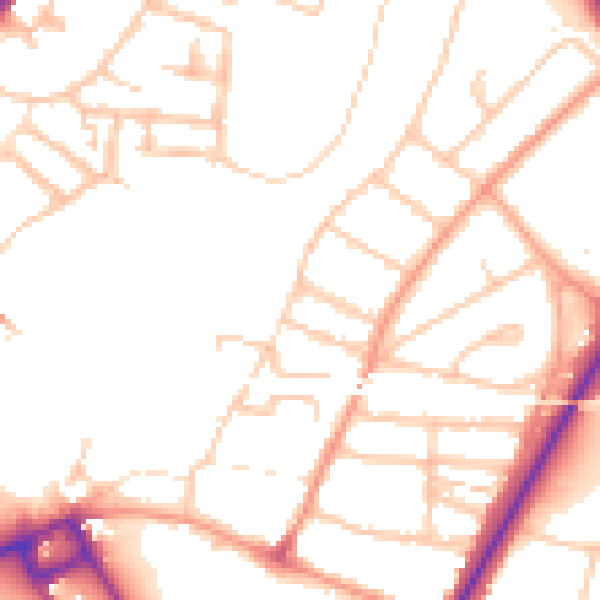
Daytime· 07:00 – 23:00
49.7dB

Night-time· 23:00 – 07:00
39.8dB