1 Abbots Way, Shrewsbury, SY2 5QQ
About 1 Abbots Way
1 Abbots Way is a semi-detached house in Shrewsbury (SY2 5QQ). It has a recorded floor area of 92 m² (around 990 sq ft), construction records dating it to 1950-1966 and council tax band B. The latest certificate (July 2013) shows a D (score 59), a step below the typical UK home. The rating has held steady at D across 2 certificates since January 2012. The recommended improvements would lift it to B (score 83), a 2-band jump. The latest certificate is from July 2013, so improvements made since then won't be reflected.
Untraded for 21 years, with the last transfer in September 2005. Across 2002–2005, sale prices on this property compounded at 41.4% per year. Today's modelled estimate of £221,000 sits 61.3% above the 2005 sale of £137,000. On a £-per-square-foot basis, the last sale (£138/sq ft) was about 35.9% below the postcode norm.
Everything you need to know about 1 Abbots Way
The true value, the hidden risks and the full sale history, in one report.
30-day money-back guarantee

The data behind every report


Energy performance
Recommended upgrades on file would lift this property by multiple EPC bands.
EPC Expired
This certificate is over 10 years old and is no longer valid.Expired 23 Jul 2023
EPC Rating
Planning history
1 Abbots Way has no planning applications on record.
Notable planning nearby
3applications of note in the surrounding area
We flagged 1 thing worth checking at 1 Abbots Way
Independent checks surfaced things a buyer would want to understand before offering. The report explains each one in full, with the underlying data and what to ask.
- Larger development activity nearby
30-day money-back guarantee
Sales history & valuation
Sale price has grown by over 3x since 2002.
£221,000
Modelled from EPC, postcode comparables and a sale-price growth of 41.4% per year over 4 years.
£137,000
Growth on file: 41.4% per year over 4 years.
Sales timeline
29 September 2005Most recent
£137,000
+245.2%over 3 years4 March 2002
£39,690
Median price across the last 5 sales in SY2 5QQ: £230,000 (2024–2021).
Versus other Abbots Way homes
1 Abbots Way is notably below the street on price per m².
Price per m²
£1,489
Street avg £2,313
Floor Area
92 m²
Street avg 95 m²
Habitable Rooms
5 rooms
Street avg 5 rooms
CO₂ Emissions
4.5 t/year
Street avg 3.3 t/year
Everything you need to know about 1 Abbots Way
The true value, the hidden risks and the full sale history, in one report.
30-day money-back guarantee
The data behind every report
Similar properties nearby
The neighbourhood at a glance
Crime
1/mo
Steady year-on-year across the wider district.
Nearest stop
1.6 km
Shrewsbury Rail Station — railway station.
Closest school
0.4 km
Crowmoor Primary School. 16 schools nearby.
Go deeper on the local area
The full report breaks down crime, transport links, schools and air quality in depth.
Road noise across the postcode
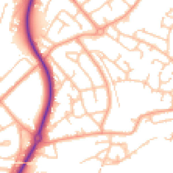
Daytime· 07:00 – 23:00
52.3dB

Night-time· 23:00 – 07:00
41.4dB