14 Underdale Road, Shrewsbury, SY2 5DL
About 14 Underdale Road
14 Underdale Road is a detached house in Shrewsbury (SY2 5DL). It has a recorded floor area of 307 m² (around 3305 sq ft), construction records dating it to before 1900 and council tax band F. The latest certificate (October 2022) shows an E (score 51), well below the UK norm with real room to improve. The recommended improvements would lift it to C (score 79), a 2-band jump.
One historical planning record sits against the property in 2025. The record references conservation-area consent, which constrain future alterations. Across 2000–2024, sale prices on this property compounded at 6.4% per year. On a £-per-square-foot basis, the last sale (£269/sq ft) was about 59.5% above the typical sold price in the postcode. Sold April 2024 for £890,000.
Everything you need to know about 14 Underdale Road
The true value, the hidden risks and the full sale history, in one report.
30-day money-back guarantee

The data behind every report


Energy performance
14 Underdale Road's carbon output runs well above what efficient homes in the postcode produce.
EPC Rating
Planning history
14 Underdale Road sits within a conservation area — exterior works face additional planning controls.
- Jan 2025Tree WorksTreesIn report
Fell 1no. Birch within Shrewsbury Conservation Area
- Agent
- Benbow Brothers Timber Limited
Conservation Area- Documents
- 2 docs on file
- Reference
- 24/04722/TCA
We flagged 1 thing worth checking at 14 Underdale Road
Independent checks surfaced things a buyer would want to understand before offering. The report explains each one in full, with the underlying data and what to ask.
- Larger development activity nearby
30-day money-back guarantee
Sales history & valuation
Latest sale on 14 Underdale Road was the highest on Land Registry record across the postcode.
£897,000
Modelled from EPC, postcode comparables and a sale-price growth of 6.4% per year over 24 years.
£890,000
Growth on file: 6.4% per year over 24 years.
Sales timeline
4 April 2024Most recent
£890,000
+128.2%over 17 years2 February 2007
£390,000
+90.2%over 6 years30 May 2000
£205,000
Median price across the last 5 sales in SY2 5DL: £570,000 (2021–2006).
Nearby sales in SY2 5DL
Everything you need to know about 14 Underdale Road
The true value, the hidden risks and the full sale history, in one report.
30-day money-back guarantee
The data behind every report
Similar properties nearby
The neighbourhood at a glance
Rail-style transport is unusually close for this postcode.
Crime
1/mo
Steady year-on-year across the wider district.
Nearest stop
0.7 km
Shrewsbury Rail Station — railway station.
Closest school
0.8 km
Crowmoor Primary School. 22 schools nearby.
Go deeper on the local area
The full report breaks down crime, transport links, schools and air quality in depth.
Road noise across the postcode
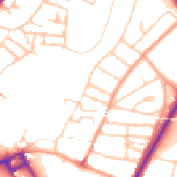
Daytime· 07:00 – 23:00
49.7dB

Night-time· 23:00 – 07:00
39.8dB