1 Bramley Close, Shrewsbury, SY1 2TP
About 1 Bramley Close
1 Bramley Close is a semi-detached house in Shrewsbury (SY1 2TP). It has a recorded floor area of 68 m² (around 732 sq ft), construction records dating it to 1967-1975 and council tax band B. The latest certificate (October 2023) shows an E (score 49), well below the UK norm with real room to improve. The recommended improvements would lift it to B (score 84), a 3-band jump. Main heating runs on electricity.
At 68 m² it's 21.4% larger than the typical home in the postcode (56 m² median across 5 EPCs). On energy efficiency it sits in the bottom 10% of properties in this postcode — significant headroom for improvement.
Everything you need to know about 1 Bramley Close
The true value, the hidden risks and the full sale history, in one report.
30-day money-back guarantee

The data behind every report


Energy performance
1 Bramley Close sits at the bottom of the postcode for energy efficiency — meaningful headroom to improve.
EPC Rating
Planning history
1 Bramley Close has no planning applications on record.
Notable planning nearby
2applications of note in the surrounding area
Sales history & valuation
1 Bramley Close has no Land Registry sales on file, suggesting it has stayed in the same hands since registration began.
£198,000
Modelled from EPC, postcode comparables.
No sales recorded with HM Land Registry
That can mean the property has never traded since the registry began publishing in 1995, was a new build that hasn't been registered yet, or is held in the same hands long-term.
Median price across the last 5 sales in SY1 2TP: £210,000 (2025–2010).
Nearby sales in SY1 2TP
Versus other Bramley Close homes
On epc rating, 1 Bramley Close runs well behind the street norm.
EPC Rating
49 (E)
Street avg 71 (C)
Floor Area
68 m²
Street avg 72 m²
CO₂ Emissions
4.6 t/year
Street avg 2.5 t/year
Habitable Rooms
4 rooms
Street avg 4 rooms
Everything you need to know about 1 Bramley Close
The true value, the hidden risks and the full sale history, in one report.
30-day money-back guarantee
The data behind every report
Similar properties nearby
1 All Saints Terrace
SY1 2LG
1 Argyll Street
SY1 2SF
1 Coton Manor, Berwick Road
SY1 2LT
1 Albafont Terrace, Severn Street
SY1 2HY
1, 55 Castle Foregate
SY1 2EJ
1 Albury Place, St Michaels Street
SY1 2ET
1 Broome Place
SY1 2DS
1 Albert Street
SY1 2HT
The neighbourhood at a glance
Reported crime in the wider district is trending notably upward year-on-year.
Crime
10/mo
Rising year-on-year across the wider district.
Nearest stop
1.1 km
Shrewsbury Rail Station — railway station.
Closest school
0.2 km
Shrewsbury Cathedral Catholic Primary School and Nursery. 19 schools nearby.
Go deeper on the local area
The full report breaks down crime, transport links, schools and air quality in depth.
Road noise across the postcode
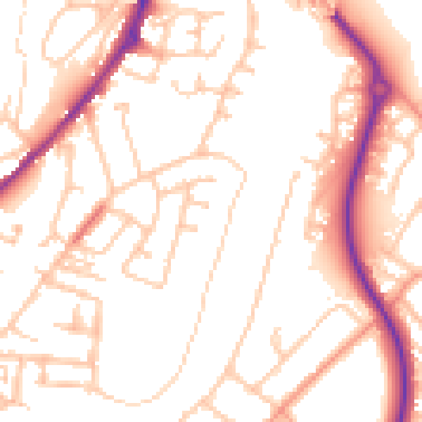
Daytime· 07:00 – 23:00
52.5dB

Night-time· 23:00 – 07:00
42.0dB