8 Bramley Close, Shrewsbury, SY1 2TP
About 8 Bramley Close
8 Bramley Close is a two-bedroom semi-detached house in Shrewsbury (SY1 2TP). It has a recorded floor area of 54 m² (around 581 sq ft), construction records dating it to 1976-1982 and council tax band B. The latest certificate (January 2020) shows a D (score 68), on the cusp of jumping into the C band. The recommended improvements would lift it to B (score 86), a 2-band jump. Other recorded features include notable views. The home occupies a cul-de-sac position.
Across 2020–2024, sale prices on this property compounded at 3.9% per year. Today's modelled estimate of £235,000 is 11.9% above the 2024 sale price. On a £-per-square-foot basis, the last sale (£361/sq ft) was about 98% above the typical sold price in the postcode. At 54 m² it's 20.6% smaller than the typical home in the postcode (68 m² median across 5 EPCs). Sold April 2024 for £210,000.
What this property has
Inside
- Bedrooms2
- Bathrooms1
- Dining roomYes
- EnsuiteYes
Outside
- Private gardenWest-facing
- DrivewayYes
- Notable viewsYes
- Cul-de-sacYes
Building
- Heating systemGas
Everything you need to know about 8 Bramley Close
The true value, the hidden risks and the full sale history, in one report.
30-day money-back guarantee

The data behind every report


Energy performance
Recommended upgrades on file would lift this property by multiple EPC bands.
EPC Rating
Planning history
8 Bramley Close has no planning applications on record.
Notable planning nearby
2applications of note in the surrounding area
Sales history & valuation
8 Bramley Close valuation sits well clear of the typical sold price in this postcode.
£235,000
Modelled from EPC, postcode comparables and a sale-price growth of 3.9% per year over 4 years.
£210,000
Growth on file: 3.9% per year over 4 years.
Sales timeline
10 April 2024Most recent
£210,000
+15.2%over 3 years30 July 2020
£182,300
Median price across the last 5 sales in SY1 2TP: £172,500 (2025–2003).
Versus other Bramley Close homes
Floor Area for 8 Bramley Close lags the street by a wide margin.
Price per m²
£3,889
Street avg £2,755
Floor Area
54 m²
Street avg 74 m²
Habitable Rooms
3 rooms
Street avg 4 rooms
CO₂ Emissions
2.2 t/year
Street avg 2.9 t/year
Everything you need to know about 8 Bramley Close
The true value, the hidden risks and the full sale history, in one report.
30-day money-back guarantee
The data behind every report
Similar properties nearby
1 Albafont Terrace, Severn Street
SY1 2HY
1 Argyll Street
SY1 2SF
1 Albert Street
SY1 2HT
1 Cornmill Square
SY1 2LQ
1 Corporation Lane
SY1 2PB
1 Coton Mount
SY1 2NN
1 Beddow Close
SY1 2NX
1 Coton Manor, Berwick Road
SY1 2LT
The neighbourhood at a glance
Reported crime in the wider district is trending notably upward year-on-year.
Crime
10/mo
Rising year-on-year across the wider district.
Nearest stop
1.1 km
Shrewsbury Rail Station — railway station.
Closest school
0.2 km
Shrewsbury Cathedral Catholic Primary School and Nursery. 19 schools nearby.
Go deeper on the local area
The full report breaks down crime, transport links, schools and air quality in depth.
Road noise across the postcode
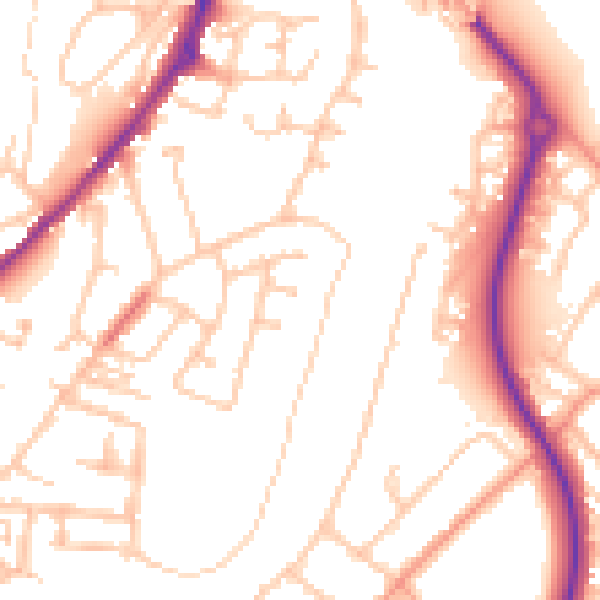
Daytime· 07:00 – 23:00
52.5dB

Night-time· 23:00 – 07:00
42.0dB