5 Berwick Road, Shrewsbury, SY1 2LL
About 5 Berwick Road
5 Berwick Road is an end-of-terrace house in Shrewsbury (SY1 2LL). It has a recorded floor area of 56 m² (around 603 sq ft), construction records dating it to before 1900 and council tax band B. The latest certificate (April 2022) shows an E (score 40), well below the UK norm with real room to improve. The recommended improvements would lift it to B (score 86), a 3-band jump.
At 56 m² it sits well below the postcode median (192 m² across 4 EPCs), making it one of the more compact homes locally. On a £-per-square-foot basis, the last sale (£282/sq ft) was about 38.8% above the typical sold price in the postcode. Most recent transfer: January 2023 at £170,000.
Everything you need to know about 5 Berwick Road
The true value, the hidden risks and the full sale history, in one report.
30-day money-back guarantee

The data behind every report


Energy performance
Recommended upgrades on file would lift this property by multiple EPC bands.
EPC Rating
Planning history
5 Berwick Road has no planning applications on record.
Notable planning nearby
2applications of note in the surrounding area
Sales history & valuation
5 Berwick Road valuation runs notably under the typical sold price in this postcode.
£170,000
Modelled from EPC, postcode comparables.
£170,000
Recorded with HM Land Registry.
Sales timeline
9 January 2023Most recent
£170,000
Median price across the last 5 sales in SY1 2LL: £485,000 (2020–2005).
Versus other Berwick Road homes
On years held, 5 Berwick Road runs well behind the street norm.
Price per m²
£3,036
Street avg £2,592
Floor Area
56 m²
Street avg 218 m²
Habitable Rooms
4 rooms
Street avg 8 rooms
CO₂ Emissions
5.4 t/year
Street avg 10.3 t/year
Everything you need to know about 5 Berwick Road
The true value, the hidden risks and the full sale history, in one report.
30-day money-back guarantee
The data behind every report
Similar properties nearby
1 Bage Terrace, St Michaels Street
SY1 2HA
1 Cornmill Square
SY1 2LQ
1 Albert Street
SY1 2HT
1 Beaumont Terrace, John Street
SY1 2SD
1 Broome Place
SY1 2DS
1 Benbow Quay
SY1 2DL
1 Berwick Close
SY1 2LR
1 Albury Place, St Michaels Street
SY1 2ET
The neighbourhood at a glance
Rail-style transport is unusually close for this postcode.
Crime
10/mo
Rising year-on-year across the wider district.
Nearest stop
0.6 km
Shrewsbury Rail Station — railway station.
Closest school
0.6 km
Greenfields Primary School. 20 schools nearby.
Go deeper on the local area
The full report breaks down crime, transport links, schools and air quality in depth.
Road noise across the postcode
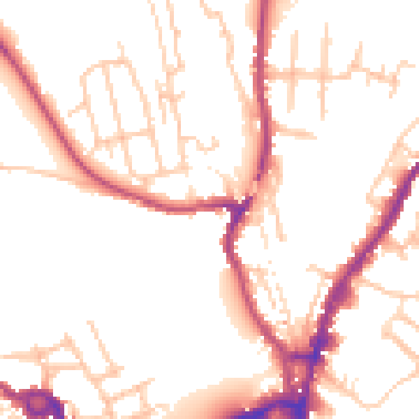
Daytime· 07:00 – 23:00
50.9dB

Night-time· 23:00 – 07:00
42.3dB