13 Albury Place, St Michaels Street, Shrewsbury, SY1 2ET
About 13 Albury Place
13 Albury Place is a three-bedroom mid-terrace house in Shrewsbury (SY1 2ET). It has a recorded floor area of 102 m² (around 1098 sq ft). The latest certificate (December 2019) returns a high B (score 86), putting the home a stone's throw from an A rating. The recommended improvements would push it to A (score 96). Other recorded features include a basement.
At 102 m² the property is well over the postcode median (73 m² across 29 EPCs), placing it in the larger end of the local stock. Most recent transfer was June 2025 at £305,000 — fresh data. Across 2021–2025, sale prices on this property compounded at 2.3% per year.
What this property has
Inside
- Bedrooms3
- Bathrooms2
- Dining roomYes
- EnsuiteYes
- BasementYes
Outside
- Private gardenSouth-west-facing
- ParkingOff street
Everything you need to know about 13 Albury Place
The true value, the hidden risks and the full sale history, in one report.
30-day money-back guarantee

The data behind every report


Energy performance
13 Albury Place's carbon output is low for the local stock.
EPC Rating
Planning history
13 Albury Place has no planning applications on record.
Notable planning nearby
2applications of note in the surrounding area
Sales history & valuation
£305,000
Modelled from EPC, postcode comparables and a sale-price growth of 2.3% per year over 4 years.
£305,000
Growth on file: 2.3% per year over 4 years.
Sales timeline
19 June 2025Most recent
£305,000
+10.1%over 4 years9 March 2021
£277,000
Median price across the last 5 sales in SY1 2ET: £270,000 (2025–2022).
Nearby sales in SY1 2ET
30 Albury Place, St Michaels Street, Shrewsbury, SY1 2ET
Sold May 2025
£247,00012 Albury Place, St Michaels Street, Shrewsbury, SY1 2ET
Sold Sept 2024
£455,00026 Albury Place, St Michaels Street, Shrewsbury, SY1 2ET
Sold Apr 2024
£250,00044 Albury Place, St Michaels Street, Shrewsbury, SY1 2ET
Sold Mar 2024
£270,00040 Albury Place, St Michaels Street, Shrewsbury, SY1 2ET
Sold Jul 2022
£450,000
Versus other Albury Place homes
13 Albury Place is notably below the street on years held.
Price per m²
£2,990
Street avg £3,080
Floor Area
102 m²
Street avg 123 m²
CO₂ Emissions
1.3 t/year
Street avg 1.6 t/year
Years Held
1 years
Street avg 4 years
Everything you need to know about 13 Albury Place
The true value, the hidden risks and the full sale history, in one report.
30-day money-back guarantee
The data behind every report
Similar properties nearby
The neighbourhood at a glance
Rail-style transport is unusually close for this postcode.
Crime
10/mo
Rising year-on-year across the wider district.
Nearest stop
0.4 km
Shrewsbury Rail Station — railway station.
Closest school
0.6 km
Greenfields Primary School. 22 schools nearby.
Go deeper on the local area
The full report breaks down crime, transport links, schools and air quality in depth.
Road noise across the postcode
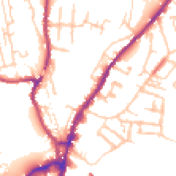
Daytime· 07:00 – 23:00
51.5dB

Night-time· 23:00 – 07:00
42.6dB