7 Burns Avenue, Stafford, ST17 9UD
About 7 Burns Avenue
7 Burns Avenue is a two-bedroom semi-detached house in Stafford (ST17 9UD). It has a recorded floor area of 56 m² (around 603 sq ft), construction records dating it to 1950-1966 and council tax band B. The latest certificate (November 2016) shows a D (score 56), a step below the typical UK home. When first surveyed in August 2014 the rating was E, the property has climbed 1 band since. Between certificates, hot-water efficiency went from Average to Good; while roof efficiency dropped from Poor to Very Poor and lighting dropped from Average to Very Poor. The recommended improvements would push it to C (score 78). Our model identifies extension potential, subject to local planning policy.
Across 2014–2020, sale prices on this property compounded at 3.5% per year. Today's modelled estimate of £187,000 is 24.7% above the 2020 sale price. On a £-per-square-foot basis, the last sale (£249/sq ft) was about 51.9% above the typical sold price in the postcode. Sold March 2020 for £150,000.
What this property has
Inside
- Bedrooms2
- Bathrooms1
- Dining roomYes
Outside
- Private gardenYes
- GarageYes
Building
- Heating systemGas
- RefurbishedYes
- Extension potentialPossible
Everything you need to know about 7 Burns Avenue
The true value, the hidden risks and the full sale history, in one report.
Pick your report · every report is £14.99
One time fee only - money back guarantee

The data behind every report


Energy performance
EPC Rating
Property Improvements
Changes detected from historical EPC data
Heating controls upgraded for better temperature management
Hot water efficiency improved
Low energy lighting percentage decreased
Get a survey for this property
Level 2 HomeBuyer Report
We've checked 10 risk factors against the available data for this property and believe a Level 2 HomeBuyer Report could be a suitable option for you.
From £495 · Includes VAT
Planning history
7 Burns Avenue has no planning applications on record.
But the area is active
3 notable applications nearby — larger schemes and conversions that could reshape the street. The report maps them all.
Sales history & valuation
The latest sale landed in the post-pandemic price surge — useful context when reading the figure.
£187,000
Modelled from EPC, postcode comparables and a sale-price growth of 3.5% per year over 5 years.
£150,000
Growth on file: 3.5% per year over 5 years.
Sales timeline
16 March 2020Most recent
£150,000
+20.0%over 5 years7 November 2014
£125,000
Median price across the last 5 sales in ST17 9UD: £130,000 (2024–2005).
Versus other Burns Avenue homes
On price per m², 7 Burns Avenue stands well clear of the street.
Price per m²
£2,679
Street avg £2,455
Floor Area
56 m²
Street avg 69 m²
Habitable Rooms
3 rooms
Street avg 4 rooms
CO₂ Emissions
3.7 t/year
Street avg 3.2 t/year
Everything you need to know about 7 Burns Avenue
The true value, the hidden risks and the full sale history, in one report.
Pick your report · every report is £14.99
One time fee only - money back guarantee
The data behind every report
Similar properties nearby
1 Beeston Ridge
ST17 9LA
1 Boningale Way
ST17 9UN
1 Ash Rise
ST17 9HE
1 Attlee Crescent
ST17 9RU
1 Bursley Close
ST17 9PH
1 Burlington Drive
ST17 9UL
1 Barn Close
ST17 9JH
1 Beaumont Gardens
ST17 9UW
The neighbourhood at a glance
Crime
3/mo
Steady year-on-year across the wider district.
Nearest stop
0.1 km
Cowley Close — bus stop.
Closest school
0.1 km
Castlechurch Primary School. 16 schools nearby.
Go deeper on the local area
A Local Area report breaks down crime, transport links, schools and air quality in depth.
Road noise across the postcode
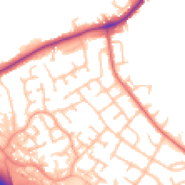
Daytime· 07:00 – 23:00
52.5dB

Night-time· 23:00 – 07:00
44.3dB