1 Burns Avenue, Stafford, ST17 9UD
About 1 Burns Avenue
1 Burns Avenue is a detached house in Stafford (ST17 9UD). It has a recorded floor area of 72 m² (around 775 sq ft), construction records dating it to 1950-1966 and council tax band C. The latest certificate (October 2014) shows an E (score 51), well below the UK norm with real room to improve. The recommended improvements would lift it to C (score 74), a 2-band jump. The latest certificate is from October 2014, so improvements made since then won't be reflected.
At 72 m² it's 26.3% larger than the typical home in the postcode (57 m² median across 5 EPCs). On energy efficiency it sits in the bottom 10% of properties in this postcode — significant headroom for improvement. Across 2004–2024, sale prices on this property compounded at 2.2% per year. Today's modelled estimate of £215,000 is 12% above the 2024 sale price. On a £-per-square-foot basis, the last sale (£248/sq ft) was about 19.5% above the typical sold price in the postcode. Most recent transfer: May 2024 at £192,000.
Everything you need to know about 1 Burns Avenue
The true value, the hidden risks and the full sale history, in one report.
Pick your report · every report is £14.99
One time fee only - money back guarantee

The data behind every report


Energy performance
1 Burns Avenue sits at the bottom of the postcode for energy efficiency — meaningful headroom to improve.
EPC Expired
This certificate is over 10 years old and is no longer valid.Expired 12 Oct 2024
EPC Rating
Get a survey for this property
Level 2 HomeBuyer Report
We've checked 10 risk factors against the available data for this property and believe a Level 2 HomeBuyer Report could be a suitable option for you.
From £545 · Includes VAT
Planning history
1 Burns Avenue has no planning applications on record.
But the area is active
3 notable applications nearby — larger schemes and conversions that could reshape the street. The report maps them all.
Sales history & valuation
Latest sale on 1 Burns Avenue was the highest on Land Registry record across the postcode.
£215,000
Modelled from EPC, postcode comparables and a sale-price growth of 2.2% per year over 19 years.
£192,000
Growth on file: 2.2% per year over 19 years.
Sales timeline
1 May 2024Most recent
£192,000
+51.2%over 19 years10 December 2004
£127,000
Median price across the last 5 sales in ST17 9UD: £130,000 (2020–2006).
Versus other Burns Avenue homes
On years held, 1 Burns Avenue runs well behind the street norm.
Price per m²
£2,667
Street avg £2,459
Floor Area
72 m²
Street avg 66 m²
Habitable Rooms
4 rooms
Street avg 4 rooms
CO₂ Emissions
4.3 t/year
Street avg 3.0 t/year
Everything you need to know about 1 Burns Avenue
The true value, the hidden risks and the full sale history, in one report.
Pick your report · every report is £14.99
One time fee only - money back guarantee
The data behind every report
Similar properties nearby
The neighbourhood at a glance
Crime
3/mo
Steady year-on-year across the wider district.
Nearest stop
0.1 km
Cowley Close — bus stop.
Closest school
0.1 km
Castlechurch Primary School. 16 schools nearby.
Go deeper on the local area
A Local Area report breaks down crime, transport links, schools and air quality in depth.
Road noise across the postcode
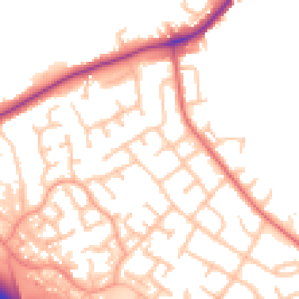
Daytime· 07:00 – 23:00
52.5dB

Night-time· 23:00 – 07:00
44.3dB