21 Alder Grove, Stafford, ST17 9SW
About 21 Alder Grove
21 Alder Grove is a semi-detached house in Stafford (ST17 9SW). It has a recorded floor area of 75 m² (around 807 sq ft), construction records dating it to 1976-1982 and council tax band A. The latest certificate (September 2019) shows a C (score 69), just inside the C band. The recommended improvements would push it to B (score 84).
Everything you need to know about 21 Alder Grove
The true value, the hidden risks and the full sale history, in one report.
Pick your report · every report is £14.99
One time fee only - money back guarantee

The data behind every report


Energy performance
EPC Rating
Get a survey for this property
Level 2 HomeBuyer Report
We've checked 10 risk factors against the available data for this property and believe a Level 2 HomeBuyer Report could be a suitable option for you.
From £495 · Includes VAT
Planning history
21 Alder Grove has no planning applications on record.
But the area is active
3 notable applications nearby — larger schemes and conversions that could reshape the street. The report maps them all.
Sales history & valuation
21 Alder Grove has no Land Registry sales on file, suggesting it has stayed in the same hands since registration began.
£166,000
Modelled from EPC, postcode comparables.
No sales recorded with HM Land Registry
That can mean the property has never traded since the registry began publishing in 1995, was a new build that hasn't been registered yet, or is held in the same hands long-term.
Median price across the last 5 sales in ST17 9SW: £140,000 (2024–2018).
Versus other Alder Grove homes
Floor Area for 21 Alder Grove lags the street by a wide margin.
EPC Rating
69 (C)
Street avg 71 (C)
Floor Area
75 m²
Street avg 82 m²
CO₂ Emissions
2.8 t/year
Street avg 2.9 t/year
Habitable Rooms
5 rooms
Street avg 5 rooms
Everything you need to know about 21 Alder Grove
The true value, the hidden risks and the full sale history, in one report.
Pick your report · every report is £14.99
One time fee only - money back guarantee
The data behind every report
Similar properties nearby
The neighbourhood at a glance
Crime
3/mo
Steady year-on-year across the wider district.
Nearest stop
0.1 km
Oxleathers Court — bus stop.
Closest school
0.4 km
Castlechurch Primary School. 13 schools nearby.
Go deeper on the local area
A Local Area report breaks down crime, transport links, schools and air quality in depth.
Road noise across the postcode
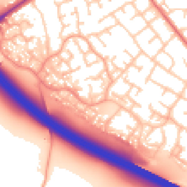
Daytime· 07:00 – 23:00
57.7dB

Night-time· 23:00 – 07:00
49.9dB