28 Briarsleigh, Stafford, ST17 4QP
About 28 Briarsleigh
28 Briarsleigh is a detached house in Stafford (ST17 4QP). It has a recorded floor area of 99 m² (around 1066 sq ft), construction records dating it to 1967-1975 and council tax band C. The latest certificate (March 2014) shows a D (score 58), a step below the typical UK home. The recommended improvements would push it to C (score 80). The latest certificate is from March 2014, so improvements made since then won't be reflected.
At 99 m² it's 23.8% larger than the typical home in the postcode (80 m² median across 25 EPCs).
Everything you need to know about 28 Briarsleigh
The true value, the hidden risks and the full sale history, in one report.
Pick your report · every report is £14.99
One time fee only - money back guarantee

The data behind every report


Energy performance
28 Briarsleigh's EPC is over a decade old — improvements since won't be reflected.
EPC Expired
This certificate is over 10 years old and is no longer valid.Expired 24 Mar 2024
EPC Rating
Get a survey for this property
Level 2 HomeBuyer Report
We've checked 10 risk factors against the available data for this property and believe a Level 2 HomeBuyer Report could be a suitable option for you.
From £545 · Includes VAT
Planning history
28 Briarsleigh has no planning applications on record.
But the area is active
2 notable applications nearby — larger schemes and conversions that could reshape the street. The report maps them all.
Sales history & valuation
28 Briarsleigh has no Land Registry sales on file, suggesting it has stayed in the same hands since registration began.
£236,000
Modelled from EPC, postcode comparables.
No sales recorded with HM Land Registry
That can mean the property has never traded since the registry began publishing in 1995, was a new build that hasn't been registered yet, or is held in the same hands long-term.
Median price across the last 5 sales in ST17 4QP: £210,000 (2025–2022).
Versus other Briarsleigh homes
On epc rating, 28 Briarsleigh runs well behind the street norm.
EPC Rating
58 (D)
Street avg 65 (D)
Floor Area
99 m²
Street avg 87 m²
CO₂ Emissions
4.6 t/year
Street avg 3.8 t/year
Habitable Rooms
5 rooms
Street avg 5 rooms
Everything you need to know about 28 Briarsleigh
The true value, the hidden risks and the full sale history, in one report.
Pick your report · every report is £14.99
One time fee only - money back guarantee
The data behind every report
Similar properties nearby
The neighbourhood at a glance
Crime
3/mo
Steady year-on-year across the wider district.
Nearest stop
0.1 km
Stonepine Close — bus stop.
Closest school
0.4 km
Barnfields Primary School. 18 schools nearby.
Go deeper on the local area
A Local Area report breaks down crime, transport links, schools and air quality in depth.
Road noise across the postcode
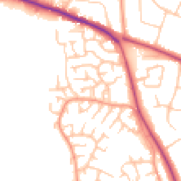
Daytime· 07:00 – 23:00
50.4dB

Night-time· 23:00 – 07:00
41.4dB