196 Main Road, Milford, Stafford, ST17 0UN
About 196 Main Road
196 Main Road is a detached house in Milford, Stafford, Stafford (ST17 0UN). It has a recorded floor area of 174 m² (around 1872 sq ft), construction records dating it to before 1900 and council tax band G. The latest certificate (June 2010) shows an E (score 43), well below the UK norm with real room to improve. The rating has held steady at E across 2 certificates since May 2010. Between certificates, wall efficiency dropped from Good to Very Poor. The latest certificate is from June 2010, so improvements made since then won't be reflected.
At 174 m² the property is well over the postcode median (119 m² across 8 EPCs), placing it in the larger end of the local stock. Across 2006–2022, sale prices on this property compounded at -16.6% per year. Today's modelled estimate of £556,000 sits 3077.1% above the 2022 sale of £17,500. On a £-per-square-foot basis, the last sale (£9/sq ft) was about 95.1% below the postcode norm. Last sale on file: £17,500 in May 2022. That sale was during the post-pandemic price surge, when transactions cleared materially above pre-2020 trend. One historical planning record sits against the property in 2023.
Everything you need to know about 196 Main Road
The true value, the hidden risks and the full sale history, in one report.
Pick your report · every report is £14.99
One time fee only - money back guarantee

The data behind every report


Energy performance
196 Main Road's carbon output runs well above what efficient homes in the postcode produce.
EPC Expired
This certificate is over 10 years old and is no longer valid.Expired 02 Jun 2020
EPC Rating
Property Improvements
Changes detected from historical EPC data
Single glazing replaced with double or better glazing
Get a survey for this property
Level 3 Building Survey
Because the property was built before 1919 and has solid (non-cavity) walls, we believe a Level 3 building survey should be considered.
From £1,085 · Includes VAT
Planning history
1 application on record at 196 Main Road, Milford, Stafford, ST17 0UN
- Apr 2023Change Of UseAmendmentOutcome in report
Change of use of land from agricultural to residential.
- Documents
- 13 docs on file
- Reference
- 23/37182/COU
Unlock 196 Main Road, Milford, Stafford, ST17 0UN's full planning history
You're seeing the shape of it. The report has the substance.
- Every decision — granted, refused or withdrawn (1 on record)
- All 1 application on this property in full, plus 1 notable nearby
- The 13 documents, officer reports & conditions
- What the pattern means for extending or converting here
One time fee only - money back guarantee
Sales history & valuation
Latest sale on 196 Main Road was the lowest on Land Registry record across the postcode.
£556,000
Modelled from EPC, postcode comparables and a sale-price growth of -16.6% per year over 16 years.
£17,500
Growth on file: -16.6% per year over 16 years.
Sales timeline
22 May 2022Most recent
£17,500
-95.6%over 3 years18 October 2018
£395,000
+19.7%over 12 years20 March 2006
£330,000
Median price across the last 5 sales in ST17 0UN: £250,000 (2020–2015).
Nearby sales in ST17 0UN
190 Main Road, Milford, Stafford, ST17 0UN
Sold Aug 2020
£237,500186 Main Road, Milford, Stafford, ST17 0UN
Sold Feb 2018
£250,000184a, Main Road, Milford, Stafford, ST17 0UN
Sold Jun 2017
£320,000The Paddock, Main Road, Milford, Stafford, ST17 0UN
Sold Oct 2016
£620,000188 Main Road, Milford, Stafford, ST17 0UN
Sold May 2015
£240,000
Versus other Main Road homes
On price per m², 196 Main Road runs well behind the street norm.
Price per m²
£101
Street avg £2,278
Floor Area
174 m²
Street avg 159 m²
Habitable Rooms
7 rooms
Street avg 6 rooms
CO₂ Emissions
11.0 t/year
Street avg 4.9 t/year
Everything you need to know about 196 Main Road
The true value, the hidden risks and the full sale history, in one report.
Pick your report · every report is £14.99
One time fee only - money back guarantee
The data behind every report
Similar properties nearby
1 Baswich Lane
ST17 0BH
1 Broc Hill Way, Brocton
ST17 0UB
1 Acton Hill Road, Acton Trussell
ST17 0RY
1 Barons Court, Wolseley Bridge
ST17 0XJ
1 Alsop Crest, Acton Trussell
ST17 0SJ
1 Briar Close
ST17 0NG
1 Bank Top Cottage, Top Road, Acton Trussell
ST17 0RQ
1 Belvedere Close
ST17 0AL
The neighbourhood at a glance
Daytime road noise here sits well below conversation level — a quiet pocket of the postcode.
Crime
3/mo
Steady year-on-year across the wider district.
Nearest stop
0.2 km
Kitlings Lane — bus stop.
Closest school
0.6 km
Berkswich CofE (VC) Primary School. 7 schools nearby.
Go deeper on the local area
A Local Area report breaks down crime, transport links, schools and air quality in depth.
Road noise across the postcode
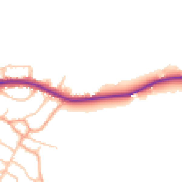
Daytime· 07:00 – 23:00
46.7dB

Night-time· 23:00 – 07:00
39.0dB