1 Highwood Close, Leigh On Sea, SS9 4AS
About 1 Highwood Close
1 Highwood Close is a detached house in Leigh On Sea (SS9 4AS). It has a recorded floor area of 128 m² (around 1378 sq ft), construction records dating it to 1950-1966 and council tax band D. The latest certificate (February 2020) shows an E (score 49), well below the UK norm with real room to improve. Earlier certificates rated it C (December 2018); the latest reading is 2 bands lower. Between certificates, wall efficiency dropped from Poor to Very Poor and roof efficiency dropped from Good to Very Poor. The recommended improvements would lift it to C (score 71), a 2-band jump.
At 128 m² the property is well over the postcode median (78 m² across 6 EPCs), placing it in the larger end of the local stock. 9 planning records sit against the property, 6 approved, 3 refused. Past consents include an extension and solar panel installation, meaningful when judging how the property has evolved.
Know exactly what you're buying at 1 Highwood Close
Before you offer, see what the listing won't tell you, the true value, the red flags and the full history.
Valuation
against the asking price
Risks
planning & flood
Sold prices
similar homes nearby
Trends
the local market
Energy performance
Recommended upgrades on file would lift this property by multiple EPC bands.
EPC Rating
Planning history
1 Highwood Close has 3 separate extension applications on the council record.
- Jan 2025ExtensionOutlineIn report
Extend existing outbuilding at rear (Lawful development certificate - proposed)
- Agent
- SKArchitects
- Reference
- 25/00116/CLP
- Jul 2021Solar PanelsFullIn report
Erect car port to front and install solar panels to roof
- Agent
- APS Design Associates Ltd
- Documents
- 7 docs on file
- Reference
- 21/01133/FULH
What's in 1 Highwood Close, Leigh On Sea, SS9 4AS's planning history?
7 more on this property, plus refusals, disputes and full decisions nearby, in the report.
Sales history & valuation
1 Highwood Close has no Land Registry sales on file, suggesting it has stayed in the same hands since registration began.
£483,000
Modelled from EPC, postcode comparables.
No sales recorded with HM Land Registry
That can mean the property has never traded since the registry began publishing in 1995, was a new build that hasn't been registered yet, or is held in the same hands long-term.
Median price across the last 5 sales in SS9 4AS: £345,000 (2025–2014).
Nearby sales in SS9 4AS
11 Highwood Close, Leigh On Sea, SS9 4AS
Sold Mar 2025
£390,00012 Highwood Close, Leigh On Sea, SS9 4AS
Sold Jul 2022
£350,0003 Highwood Close, Leigh On Sea, SS9 4AS
Sold Nov 2019
£345,0006 Highwood Close, Leigh On Sea, SS9 4AS
Sold Oct 2014
£254,99515 Highwood Close, Leigh On Sea, SS9 4AS
Sold Jan 2014
£250,000
Everything we know about 1 Highwood Close, in one report
What it's really worth, what could be wrong, and the planning, sales and area data in full.
- Am I paying too much?
- Is something wrong with it?
- Is the agent's story true?
- Will it hold its value?

Versus other Highwood Close homes
On floor area, 1 Highwood Close stands well clear of the street.
EPC Rating
49 (E)
Street avg 53 (E)
Floor Area
128 m²
Street avg 81 m²
CO₂ Emissions
4.8 t/year
Street avg 5.1 t/year
Habitable Rooms
5 rooms
Street avg 4 rooms
Similar properties nearby
The neighbourhood at a glance
Crime
3/mo
Steady year-on-year across the wider district.
Nearest stop
0.1 km
Stonehill Road — bus stop.
Closest school
0.4 km
Blenheim Primary School. 22 schools nearby.
Go deeper on the local area
The full report breaks down crime, transport links, schools and air quality in depth.
Road noise across the postcode
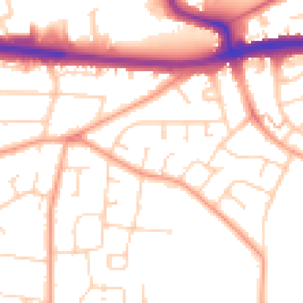
Daytime· 07:00 – 23:00
52.1dB

Night-time· 23:00 – 07:00
42.3dB