8 Curlew Crescent, Basildon, SS16 5HR
About 8 Curlew Crescent
8 Curlew Crescent is a four-bedroom semi-detached house in Basildon (SS16 5HR). It has a recorded floor area of 112 m² (around 1206 sq ft), construction records dating it to 1967-1975 and council tax band E. The latest certificate (December 2015) shows a D (score 65), on the cusp of jumping into the C band. The recommended improvements would lift it to B (score 81), a 2-band jump. The latest certificate is from December 2015, so improvements made since then won't be reflected.
Today's modelled estimate of £495,000 sits 50% above the 2016 sale of £330,000. 2 planning records sit against the property, 2 approved, 0 refused. Past consents include an extension and a porch, meaningful when judging how the property has evolved. Last sold in August 2016, so it's been off the market for around 10 years.
What this property has
Inside
- Bedrooms4
Everything you need to know about 8 Curlew Crescent
The true value, the hidden risks and the full sale history, in one report.
Pick your report · every report is £14.99
One time fee only - money back guarantee

The data behind every report


Energy performance
Recommended upgrades on file would lift this property by multiple EPC bands.
EPC Expired
This certificate is over 10 years old and is no longer valid.Expired 02 Dec 2025
EPC Rating
Get a survey for this property
Level 2 HomeBuyer Report
We've checked 10 risk factors against the available data for this property and believe a Level 2 HomeBuyer Report could be a suitable option for you.
From £695 · Includes VAT
Planning history
2 applications on record at 8 Curlew Crescent, Basildon, SS16 5HR
- Jul 2017PorchFullOutcome in report
Extension: Two storey · Front of property
Erect two storey front extension, porch and canopy and erect pitch roof over existing single storey flat roof extension
Extension- Documents
- 14 docs on file
- Reference
- 17/00320/FULL
- More recent applications — locked
- ExtensionDec 2017Decision
Unlock 8 Curlew Crescent, Basildon, SS16 5HR's full planning history
You're seeing the shape of it. The report has the substance.
- Every decision — granted, refused or withdrawn (2 on record)
- All 2 applications on this property in full, plus 7 notable nearby
- The 32 documents, officer reports & conditions
- What the pattern means for extending or converting here
One time fee only - money back guarantee
Sales history & valuation
8 Curlew Crescent valuation sits well clear of the typical sold price in this postcode.
£495,000
Modelled from EPC, postcode comparables.
£330,000
Recorded with HM Land Registry.
Sales timeline
30 August 2016Most recent
£330,000
Median price across the last 5 sales in SS16 5HR: £445,000 (2024–2019).
Nearby sales in SS16 5HR
Versus other Curlew Crescent homes
Price per m²
£2,946
Street avg £3,303
Floor Area
112 m²
Street avg 122 m²
Habitable Rooms
6 rooms
Street avg 6 rooms
CO₂ Emissions
4.5 t/year
Street avg 6.0 t/year
Everything you need to know about 8 Curlew Crescent
The true value, the hidden risks and the full sale history, in one report.
Pick your report · every report is £14.99
One time fee only - money back guarantee
The data behind every report
Similar properties nearby
1 Falcon Way
SS16 5JA
1 Botelers
SS16 5SE
1 Curlew Crescent
SS16 5HR
1 Codenham Straight
SS16 5DQ
1 Edgecotts
SS16 5SN
1 Clay Hill Road
SS16 5DA
1 Brook Cottage, Dry Street, Langdon Hills
SS16 5NF
1 Bebington Drive, Langdon Hills
SS16 5JZ
The neighbourhood at a glance
Rail-style transport is unusually close for this postcode.
Crime
10/mo
Falling year-on-year across the wider district.
Nearest stop
0.4 km
Bells Hill Road — bus stop.
Closest school
0.6 km
Kingswood Primary School and Nursery. 24 schools nearby.
Go deeper on the local area
A Local Area report breaks down crime, transport links, schools and air quality in depth.
Road noise across the postcode
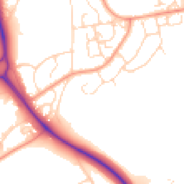
Daytime· 07:00 – 23:00
51.7dB

Night-time· 23:00 – 07:00
43.1dB