84 Hobleythick Lane, Westcliff On Sea, SS0 0RJ
About 84 Hobleythick Lane
84 Hobleythick Lane is a semi-detached house in Westcliff On Sea (SS0 0RJ). It has a recorded floor area of 97 m² (around 1044 sq ft), construction records dating it to 1950-1966 and council tax band D. The latest certificate (June 2019) shows a D (score 55), a step below the typical UK home. The recommended improvements would push it to C (score 77).
Today's modelled estimate of £386,000 is 35.4% above the 2019 sale price. On a £-per-square-foot basis, the last sale (£273/sq ft) was about 73.1% above the typical sold price in the postcode. Last sale on file: £285,000 in July 2019.
Everything you need to know about 84 Hobleythick Lane
The true value, the hidden risks and the full sale history, in one report.
30-day money-back guarantee

The data behind every report


Energy performance
EPC Rating
Planning history
84 Hobleythick Lane has no planning applications on record.
Notable planning nearby
12applications of note in the surrounding area
We flagged 2 things worth checking at 84 Hobleythick Lane
Independent checks surfaced things a buyer would want to understand before offering. The report explains each one in full, with the underlying data and what to ask.
- Signs of HMO activity in the area
- Larger development activity nearby
30-day money-back guarantee
Sales history & valuation
84 Hobleythick Lane valuation sits well clear of the typical sold price in this postcode.
£386,000
Modelled from EPC, postcode comparables.
£285,000
Recorded with HM Land Registry.
Sales timeline
15 July 2019Most recent
£285,000
Median price across the last 5 sales in SS0 0RJ: £475,000 (2024–2021).
Nearby sales in SS0 0RJ
Flat, 132 Hobleythick Lane, Westcliff On Sea, SS0 0RJ
Sold Jan 2024
£475,00092 Hobleythick Lane, Westcliff On Sea, SS0 0RJ
Sold Oct 2023
£630,000138a, Hobleythick Lane, Westcliff On Sea, SS0 0RJ
Sold Jun 2022
£125,00070 Hobleythick Lane, Westcliff On Sea, SS0 0RJ
Sold Jan 2022
£395,000110 Hobleythick Lane, Westcliff On Sea, SS0 0RJ
Sold Jul 2018
£340,000
Versus other Hobleythick Lane homes
On floor area, 84 Hobleythick Lane runs well behind the street norm.
Price per m²
£2,938
Street avg £2,852
Floor Area
97 m²
Street avg 127 m²
Habitable Rooms
4 rooms
Street avg 6 rooms
CO₂ Emissions
4.6 t/year
Street avg 7.2 t/year
Everything you need to know about 84 Hobleythick Lane
The true value, the hidden risks and the full sale history, in one report.
30-day money-back guarantee
The data behind every report
Similar properties nearby
The neighbourhood at a glance
Reported crime in the wider district is trending notably upward year-on-year.
Crime
9/mo
Rising year-on-year across the wider district.
Nearest stop
0.1 km
The Bell Southside — bus stop.
Closest school
0.3 km
Earls Hall Primary School. 28 schools nearby.
Go deeper on the local area
The full report breaks down crime, transport links, schools and air quality in depth.
Road noise across the postcode
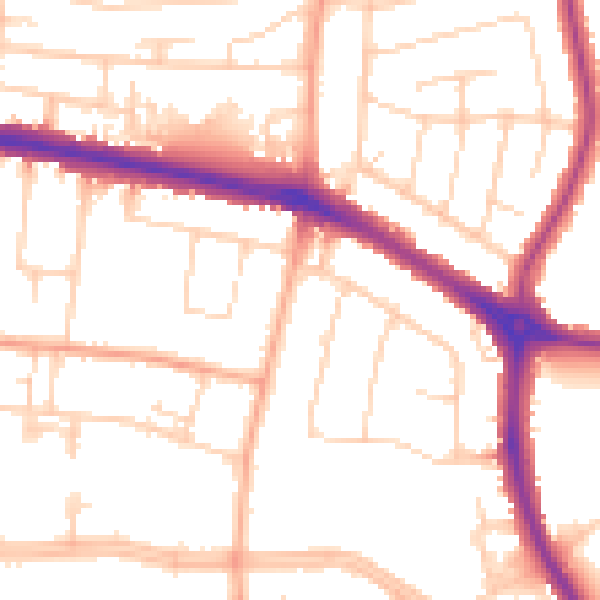
Daytime· 07:00 – 23:00
52.5dB

Night-time· 23:00 – 07:00
43.0dB