20 Ferndale Terrace, Sunderland, SR4 6SG
About 20 Ferndale Terrace
20 Ferndale Terrace is a mid-terrace house in Sunderland (SR4 6SG). It has a recorded floor area of 63 m² (around 678 sq ft), construction records dating it to 1930-1949 and council tax band A. At 63 m² this is the 4th smallest of 15 units on EPC record in the building, where floor areas span 60–93 m². The building's EPC ratings span G to C, with this unit at the top. The latest certificate (August 2025) shows a C (score 71).
Held since February 1995 — that's 31 years off the open market, well above the local norm. Only one transfer is on record with HM Land Registry, suggesting it has stayed in the same hands for a long time. Today's modelled estimate of £113,000 sits 391.3% above the 1995 sale of £23,000. On a £-per-square-foot basis, the last sale (£34/sq ft) was about 35.2% below the postcode norm.
Everything you need to know about 20 Ferndale Terrace
The true value, the hidden risks and the full sale history, in one report.
Pick your report · every report is £14.99
One time fee only - money back guarantee

The data behind every report


Energy performance
EPC Rating
Get a survey for this property
Level 2 HomeBuyer Report
We've checked 10 risk factors against the available data for this property and believe a Level 2 HomeBuyer Report could be a suitable option for you.
From £495 · Includes VAT
Planning history
20 Ferndale Terrace has no planning applications on record.
But the area is active
1 notable application nearby — larger schemes and conversions that could reshape the street. The report maps them all.
Sales history & valuation
20 Ferndale Terrace's modelled value sits at over four times its earliest registered sale price (1995).
£113,000
Modelled from EPC, postcode comparables.
£23,000
Recorded with HM Land Registry.
Sales timeline
20 February 1995Most recent
£23,000
Median price across the last 5 sales in SR4 6SG: £50,000 (2025–2021).
Nearby sales in SR4 6SG
Versus other Ferndale Terrace homes
20 Ferndale Terrace is notably below the street on price per m².
Price per m²
£365
Street avg £768
Floor Area
63 m²
Street avg 70 m²
Habitable Rooms
3 rooms
Street avg 3 rooms
CO₂ Emissions
1.9 t/year
Street avg 3.5 t/year
Everything you need to know about 20 Ferndale Terrace
The true value, the hidden risks and the full sale history, in one report.
Pick your report · every report is £14.99
One time fee only - money back guarantee
The data behind every report
Similar properties nearby
The neighbourhood at a glance
Rail-style transport is unusually close for this postcode.
Crime
3/mo
Rising year-on-year across the wider district.
Nearest stop
0.0 km
Merle Terrace — bus stop.
Closest school
0.6 km
Diamond Hall Infant Academy. 35 schools nearby.
Go deeper on the local area
A Local Area report breaks down crime, transport links, schools and air quality in depth.
Road noise across the postcode
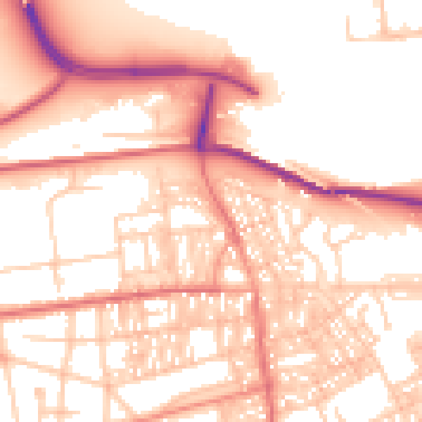
Daytime· 07:00 – 23:00
55.5dB

Night-time· 23:00 – 07:00
44.2dB