2 Dryborough Street, Sunderland, SR4 6BL
About 2 Dryborough Street
2 Dryborough Street is a two-bedroom property in Sunderland (SR4 6BL). It has council tax band A.
Held since December 2006 — that's 19 years off the open market, well above the local norm. Across 2002–2006, sale prices on this property compounded at 22.9% per year.
What this property has
Inside
- Bedrooms2
Outside
- ParkingAllocated
Everything you need to know about 2 Dryborough Street
The true value, the hidden risks and the full sale history, in one report.
Pick your report · every report is £14.99
One time fee only - money back guarantee

The data behind every report


Energy performance
No EPC on record
This property doesn't have an Energy Performance Certificate yet. An EPC is required to sell or let — and unlocks our automated valuation.
Get a survey for this property
Level 2 HomeBuyer Report
We've checked 10 risk factors against the available data for this property and believe a Level 2 HomeBuyer Report could be a suitable option for you.
Planning history
2 Dryborough Street has no planning applications on record.
But the area is active
1 notable application nearby — larger schemes and conversions that could reshape the street. The report maps them all.
Sales history & valuation
2 Dryborough Street has more than doubled in price since the earliest registered sale in 2002.
£85,000
Growth on file: 22.9% per year over 5 years.
Sales timeline
8 December 2006Most recent
£85,000
+40.5%over 3 years30 October 2003
£60,500
+89.4%over 1 year8 March 2002
£31,950
Median price across the last 5 sales in SR4 6BL: £73,500 (2025–2006).
Nearby sales in SR4 6BL
13 Dryborough Street, Sunderland, SR4 6BL
Sold Jan 2025
£102,50011 Dryborough Street, Sunderland, SR4 6BL
Sold Jan 2024
£74,00014 Dryborough Street, Sunderland, SR4 6BL
Sold Jan 2023
£56,0006 Dryborough Street, Sunderland, SR4 6BL
Sold May 2004
£73,5001 Dryborough Street, Sunderland, SR4 6BL
Sold Aug 2002
£33,000
Everything you need to know about 2 Dryborough Street
The true value, the hidden risks and the full sale history, in one report.
Pick your report · every report is £14.99
One time fee only - money back guarantee
The data behind every report
Similar properties nearby
The neighbourhood at a glance
Rail-style transport is unusually close for this postcode.
Crime
3/mo
Rising year-on-year across the wider district.
Nearest stop
0.2 km
Pallion New Road-Carol St — bus stop.
Closest school
0.6 km
St Joseph's Catholic Primary School, Sunderland. 38 schools nearby.
Go deeper on the local area
A Local Area report breaks down crime, transport links, schools and air quality in depth.
Road noise across the postcode
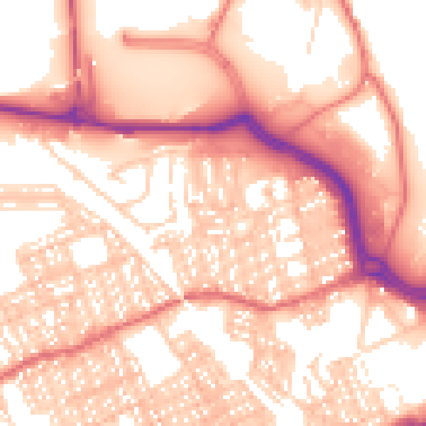
Daytime· 07:00 – 23:00
56.8dB

Night-time· 23:00 – 07:00
44.9dB