67a, Knatchbull Close, Romsey, SO51 8WJ
About 67a
67a is a detached house in Romsey (SO51 8WJ). It has a recorded floor area of 78 m² (around 840 sq ft). The latest certificate (May 2020) returns a B (score 83), comfortably above the UK average. The recommended improvements would push it to A (score 95).
At 78 m² the property is well over the postcode median (40 m² across 62 EPCs), placing it in the larger end of the local stock. On energy efficiency it sits in the top 10% of properties in this postcode. One historical planning record sits against the property in 2022.
Know exactly what you're buying at 67a
Before you offer, see what the listing won't tell you, the true value, the red flags and the full history.
Already flagged here
Valuation
against the asking price
Risks
planning & flood
Sold prices
similar homes nearby
Trends
the local market
Energy performance
67a ranks among the most efficient homes in the postcode for energy use.
EPC Rating
Planning history
- Mar 2022ExtensionFullIn report
Extension: Single storey · Side of property
Single storey side extension to create WC
- Agent
- Trinity Rose Architecture
- Documents
- 9 docs on file
- Reference
- 22/00256/FULLS
We flagged 1 thing worth checking at 67a
Independent checks surfaced things a buyer would want to understand before offering. The report explains each one in full, with the underlying data and what to ask.
- Larger development activity nearby
30-day money-back guarantee
Sales history & valuation
67a has no Land Registry sales on file, suggesting it has stayed in the same hands since registration began.
£384,000
Modelled from EPC, postcode comparables.
No sales recorded with HM Land Registry
That can mean the property has never traded since the registry began publishing in 1995, was a new build that hasn't been registered yet, or is held in the same hands long-term.
Median price across the last 5 sales in SO51 8WJ: £175,000 (2025–2023).
Nearby sales in SO51 8WJ
Everything we know about 67a, in one report
What it's really worth, what could be wrong, and the planning, sales and area data in full.
What we flagged
- Larger development activity nearby

Versus other Knatchbull Close homes
67a outperforms the street on epc rating by a wide margin.
EPC Rating
83 (B)
Street avg 63 (D)
Floor Area
78 m²
Street avg 58 m²
CO₂ Emissions
1.2 t/year
Street avg 3.1 t/year
Similar properties nearby
1 Bell Court
SO51 8JR
1 Farriers Mews, Love Lane
SO51 8TA
1 Fleur De Lis, Duttons Road
SO51 8LH
1 Comley Court, Bell Street
SO51 8AL
1 Cherville Mews
SO51 8FY
1 Hollman Drive
SO51 8ES
1 Kings Court, Alma Road
SO51 8EB
1 Holt Mews, Latimer Street
SO51 8LD
The neighbourhood at a glance
Rail-style transport is unusually close for this postcode.
Crime
3/mo
Steady year-on-year across the wider district.
Nearest stop
0.1 km
Abbey Lodge — bus stop.
Closest school
0.5 km
Romsey Primary School & Nursery. 7 schools nearby.
Go deeper on the local area
The full report breaks down crime, transport links, schools and air quality in depth.
Road noise across the postcode
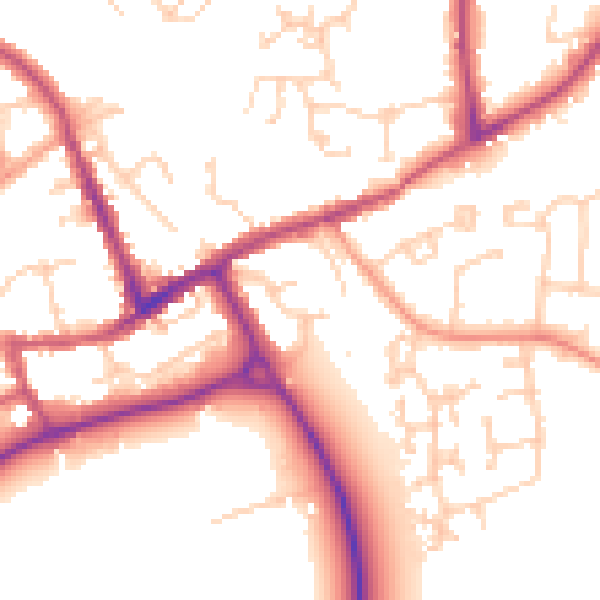
Daytime· 07:00 – 23:00
52.9dB

Night-time· 23:00 – 07:00
44.3dB