Flat A, 28 Church Street, Romsey, SO51 8BU
About Flat A
Flat A is a mid-terrace house in Romsey (SO51 8BU). It has a recorded floor area of 55 m² (around 592 sq ft) and construction records dating it to before 1900. The latest certificate (July 2018) shows a D (score 62), on the cusp of jumping into the C band. The recommended improvements would push it to C (score 76).
At 55 m² it sits well below the postcode median (90 m² across 17 EPCs), making it one of the more compact homes locally. Across 1996–2019, sale prices on this property compounded at 7% per year. On a £-per-square-foot basis, the last sale (£511/sq ft) was about 121.4% above the typical sold price in the postcode. 2 planning records sit against the property, 0 approved, 0 refused. Last sale on file: £302,500 in February 2019.
Know exactly what you're buying at Flat A
Before you offer, see what the listing won't tell you, the true value, the red flags and the full history.
Already flagged here
Valuation
against the asking price
Risks
planning & flood
Sold prices
similar homes nearby
Trends
the local market
Energy performance
EPC Rating
Planning history
- May 2006HeritageIn report
Erection of satellite dish
- Documents
- 8 docs on file
- Reference
- 06/00559/LBWS
- May 2006FullIn report
Erection of satellite dish
- Documents
- 9 docs on file
- Reference
- 06/00557/FULLS
We flagged 1 thing worth checking at Flat A
Independent checks surfaced things a buyer would want to understand before offering. The report explains each one in full, with the underlying data and what to ask.
- Larger development activity nearby
30-day money-back guarantee
Sales history & valuation
Price for Flat A has grown more than fourfold since the 1996 starting point.
£299,000
Modelled from EPC, postcode comparables and a sale-price growth of 7.0% per year over 22 years.
£302,500
Growth on file: 7.0% per year over 22 years.
Sales timeline
13 February 2019Most recent
£302,500
+273.5%over 20 years11 November 1998
£81,000
+20.9%over 2 years4 November 1996
£67,000
Median price across the last 5 sales in SO51 8BU: £282,000 (2023–2018).
Nearby sales in SO51 8BU
Flat B, 26 Church Street, Romsey, SO51 8BU
Sold Nov 2023
£290,000Flat B, 28 Church Street, Romsey, SO51 8BU
Sold Mar 2022
£282,0002a, Church Street, Romsey, SO51 8BU
Sold May 2021
£290,000Flat C, 28 Church Street, Romsey, SO51 8BU
Sold Apr 2018
£260,00022 Church Street, Romsey, SO51 8BU
Sold Dec 2017
£527,000
Everything we know about Flat A, in one report
What it's really worth, what could be wrong, and the planning, sales and area data in full.
What we flagged
- Larger development activity nearby

Versus other Church Street homes
Flat A is notably below the street on floor area.
Price per m²
£5,500
Street avg £3,740
Floor Area
55 m²
Street avg 87 m²
Habitable Rooms
3 rooms
Street avg 3 rooms
CO₂ Emissions
2.7 t/year
Street avg 3.5 t/year
Similar properties nearby
4 Victoria Place, The Apartment, Love Lane
SO51 8DE
2a, Flat 1, Church Street
SO51 8BU
23a, Flat 1, Bell Street
SO51 8GY
Bank Flat, 3 The Abbey
SO51 8EN
23a, Flat 2, Bell Street
SO51 8GY
Ashley House, Flat 10, Broadwater Road
SO51 8GT
2a, Flat 2, Church Street
SO51 8BU
Ashley House, Flat 7, Broadwater Road
SO51 8GT
The neighbourhood at a glance
Rail-style transport is unusually close for this postcode.
Crime
3/mo
Steady year-on-year across the wider district.
Nearest stop
0.0 km
Council Offices — bus stop.
Closest school
0.2 km
Romsey Abbey Church of England Primary School. 7 schools nearby.
Go deeper on the local area
The full report breaks down crime, transport links, schools and air quality in depth.
Road noise across the postcode
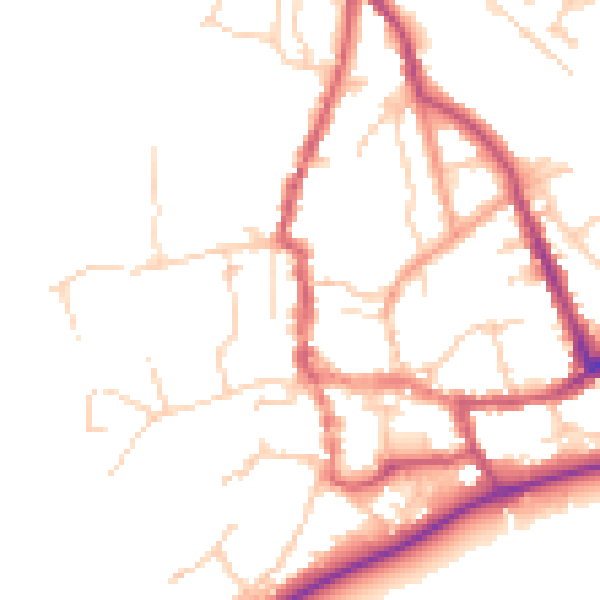
Daytime· 07:00 – 23:00
49.5dB

Night-time· 23:00 – 07:00
41.0dB