10 Arnside Avenue, Hazel Grove, Stockport, SK7 5AP
About 10 Arnside Avenue
10 Arnside Avenue is a semi-detached house in Hazel Grove, Stockport, Stockport (SK7 5AP). It has a recorded floor area of 75 m² (around 807 sq ft), construction records dating it to 1967-1975 and council tax band C. The latest certificate (August 2016) shows a D (score 59), a step below the typical UK home. The recommended improvements would lift it to B (score 82), a 2-band jump.
Today's modelled estimate of £308,000 sits 70% above the 2016 sale of £181,200. At 75 m² it sits well below the postcode median (109 m² across 12 EPCs), making it one of the more compact homes locally. One planning record on file: an extension approved in 2021. Past consents include an extension, meaningful when judging how the property has evolved. 10 years since the last transfer (August 2016).
Everything you need to know about 10 Arnside Avenue
The true value, the hidden risks and the full sale history, in one report.
Pick your report · every report is £14.99
One time fee only - money back guarantee

The data behind every report


Energy performance
Recommended upgrades on file would lift this property by multiple EPC bands.
EPC Rating
Get a survey for this property
Level 2 HomeBuyer Report
We've checked 10 risk factors against the available data for this property and believe a Level 2 HomeBuyer Report could be a suitable option for you.
From £595 · Includes VAT
Planning history
10 Arnside Avenue has an approved single-storey side extension on the planning record.
1 application on record at 10 Arnside Avenue, Hazel Grove, Stockport, SK7 5AP
- May 2021ExtensionFullOutcome in report
Extension: Single storey · Side of property
First floor side extension
- Documents
- 5 docs on file
- Reference
- DC/080573
Unlock 10 Arnside Avenue, Hazel Grove, Stockport, SK7 5AP's full planning history
You're seeing the shape of it. The report has the substance.
- Every decision — granted, refused or withdrawn (1 on record)
- All 1 application on this property in full, plus 1 notable nearby
- The 5 documents, officer reports & conditions
- What the pattern means for extending or converting here
One time fee only - money back guarantee
Sales history & valuation
10 Arnside Avenue valuation sits well clear of the typical sold price in this postcode.
£308,000
Modelled from EPC, postcode comparables.
£181,200
Recorded with HM Land Registry.
Sales timeline
24 August 2016Most recent
£181,200
Median price across the last 5 sales in SK7 5AP: £405,000 (2025–2022).
Nearby sales in SK7 5AP
7 Arnside Avenue, Hazel Grove, Stockport, SK7 5AP
Sold Mar 2025
£470,00019 Arnside Avenue, Hazel Grove, Stockport, SK7 5AP
Sold Aug 2023
£455,0009 Arnside Avenue, Hazel Grove, Stockport, SK7 5AP
Sold May 2023
£405,00022 Arnside Avenue, Hazel Grove, Stockport, SK7 5AP
Sold Mar 2022
£305,0002 Arnside Avenue, Hazel Grove, Stockport, SK7 5AP
Sold Sept 2021
£284,950
Versus other Arnside Avenue homes
Floor Area for 10 Arnside Avenue lags the street by a wide margin.
Price per m²
£2,416
Street avg £2,855
Floor Area
75 m²
Street avg 107 m²
Habitable Rooms
5 rooms
Street avg 6 rooms
CO₂ Emissions
4.1 t/year
Street avg 4.1 t/year
Everything you need to know about 10 Arnside Avenue
The true value, the hidden risks and the full sale history, in one report.
Pick your report · every report is £14.99
One time fee only - money back guarantee
The data behind every report
Similar properties nearby
1 Carisbrooke Avenue, Hazel Grove
SK7 5PL
1 Arnside Avenue, Hazel Grove
SK7 5AP
1 Denbigh Close, Hazel Grove
SK7 5NJ
1 Alvington Grove, Hazel Grove
SK7 5LS
1 Boscombe Drive, Hazel Grove
SK7 5JA
1 Caernarvon Drive, Hazel Grove
SK7 5PT
1 Cartmel Close, Hazel Grove
SK7 5AR
1 Denbury Green, Hazel Grove
SK7 5QS
The neighbourhood at a glance
Rail-style transport is unusually close for this postcode.
Crime
1/mo
Steady year-on-year across the wider district.
Nearest stop
0.4 km
Stepping Hill Hospital — bus stop.
Closest school
0.7 km
St Peter's Catholic Primary School. 26 schools nearby.
Go deeper on the local area
A Local Area report breaks down crime, transport links, schools and air quality in depth.
Road noise across the postcode
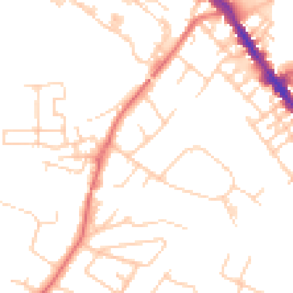
Daytime· 07:00 – 23:00
49.2dB

Night-time· 23:00 – 07:00
38.5dB