14a, Broadoak Road, Bramhall, Stockport, SK7 3BW
About 14a
14a is a detached house in Bramhall, Stockport, Stockport (SK7 3BW). It has a recorded floor area of 302 m² (around 3253 sq ft), construction records dating it to 1930-1949 and council tax band F. The latest certificate (February 2012) shows a C (score 80), near the top of the C band. The recommended improvements would push it to B (score 82). The latest certificate is from February 2012, so improvements made since then won't be reflected.
At 302 m² the property is well over the postcode median (175 m² across 10 EPCs), placing it in the larger end of the local stock.
Everything you need to know about 14a
The true value, the hidden risks and the full sale history, in one report.
Pick your report · every report is £14.99
One time fee only - money back guarantee

The data behind every report


Energy performance
14a's EPC is over a decade old — improvements since won't be reflected.
EPC Expired
This certificate is over 10 years old and is no longer valid.Expired 15 Feb 2022
EPC Rating
Get a survey for this property
Level 3 Building Survey
Because the property is a large detached home over 300m², we believe a Level 3 building survey should be considered.
From £1,645 · Includes VAT
Planning history
14a has no planning applications on record.
But the area is active
1 notable application nearby — larger schemes and conversions that could reshape the street. The report maps them all.
Sales history & valuation
14a has no Land Registry sales on file, suggesting it has stayed in the same hands since registration began.
£1,020,000
Modelled from EPC, postcode comparables.
No sales recorded with HM Land Registry
That can mean the property has never traded since the registry began publishing in 1995, was a new build that hasn't been registered yet, or is held in the same hands long-term.
Median price across the last 5 sales in SK7 3BW: £525,000 (2021–2013).
Nearby sales in SK7 3BW
14 Broadoak Road, Bramhall, Stockport, SK7 3BW
Sold May 2021
£850,00011 Broadoak Road, Bramhall, Stockport, SK7 3BW
Sold Apr 2019
£522,0007 Broadoak Road, Bramhall, Stockport, SK7 3BW
Sold Jun 2018
£525,00012 Broadoak Road, Bramhall, Stockport, SK7 3BW
Sold Sept 2017
£680,00015 Broadoak Road, Bramhall, Stockport, SK7 3BW
Sold Nov 2013
£384,250
Versus other Broadoak Road homes
On epc rating, 14a stands well clear of the street.
EPC Rating
80 (C)
Street avg 67 (D)
Floor Area
302 m²
Street avg 175 m²
CO₂ Emissions
5.0 t/year
Street avg 6.1 t/year
Habitable Rooms
7 rooms
Street avg 7 rooms
Everything you need to know about 14a
The true value, the hidden risks and the full sale history, in one report.
Pick your report · every report is £14.99
One time fee only - money back guarantee
The data behind every report
Similar properties nearby
1 Broomhill Drive, Bramhall
SK7 3NJ
1 Broadway, Bramhall
SK7 3BR
1 Bramhall Park Grove, Bramhall
SK7 3PS
1 Broadoak Road, Bramhall
SK7 3BW
1 Carrwood Road, Bramhall
SK7 3EL
1 Churchston Avenue, Bramhall
SK7 3DA
1 Beathwaite Drive, Bramhall
SK7 3NY
1 Bradda Mount, Bramhall
SK7 3BX
The neighbourhood at a glance
Crime
1/mo
Steady year-on-year across the wider district.
Nearest stop
0.2 km
Handley Road — bus stop.
Closest school
0.5 km
Nevill Road Junior School. 35 schools nearby.
Go deeper on the local area
A Local Area report breaks down crime, transport links, schools and air quality in depth.
Road noise across the postcode
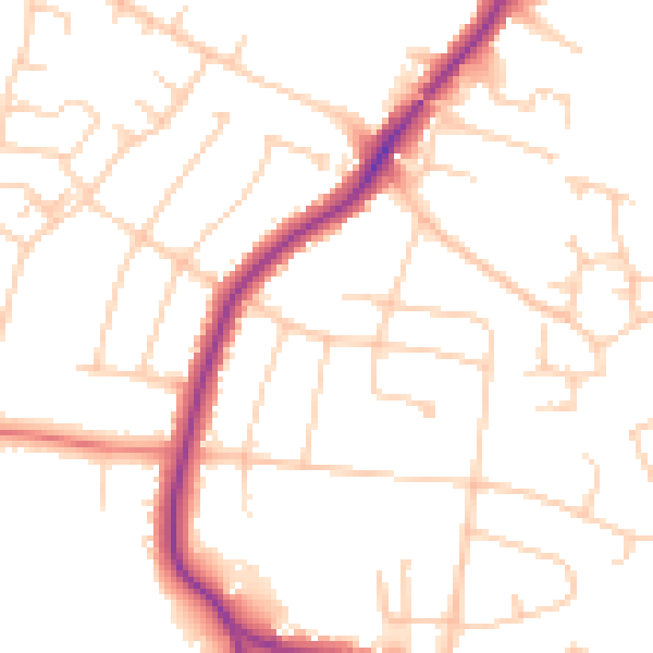
Daytime· 07:00 – 23:00
50.0dB

Night-time· 23:00 – 07:00
39.9dB