3 Barlow Fold, Romiley, Stockport, SK6 4LQ
About 3 Barlow Fold
3 Barlow Fold is a property in Romiley, Stockport, Stockport (SK6 4LQ). It has council tax band F.
Untraded for 30 years, with the last transfer in June 1996. Only one transfer is on record with HM Land Registry, suggesting it has stayed in the same hands for a long time. 3 planning records sit against the property, 3 approved, 0 refused. Past consents include new windows, tree works and an extension, meaningful when judging how the property has evolved.
Everything you need to know about 3 Barlow Fold
The true value, the hidden risks and the full sale history, in one report.
Pick your report · every report is £14.99
One time fee only - money back guarantee

The data behind every report


Energy performance
No EPC on record
This property doesn't have an Energy Performance Certificate yet. An EPC is required to sell or let — and unlocks our automated valuation.
Get a survey for this property
Level 2 HomeBuyer Report
We've checked 10 risk factors against the available data for this property and believe a Level 2 HomeBuyer Report could be a suitable option for you.
Planning history
3 Barlow Fold has an approved single-storey rear extension on the planning record.
3 applications on record at 3 Barlow Fold, Romiley, Stockport, SK6 4LQ
- Oct 2000ExtensionFullOutcome in report
Extension: Single storey · Rear of property
Rear single storey extension.
- Reference
- DC/002036
- More recent applications — locked
- RenovationMay 2023Decision
- Tree WorksOct 2000Decision
Unlock 3 Barlow Fold, Romiley, Stockport, SK6 4LQ's full planning history
You're seeing the shape of it. The report has the substance.
- Every decision — granted, refused or withdrawn (3 on record)
- All 3 applications on this property in full, plus 1 notable nearby
- The 12 documents, officer reports & conditions
- What the pattern means for extending or converting here
One time fee only - money back guarantee
Sales history & valuation
3 Barlow Fold has been held in the same hands since before 2000.
£83,000
Recorded with HM Land Registry.
Sales timeline
27 June 1996Most recent
£83,000
Median price across the last 5 sales in SK6 4LQ: £445,000 (2024–2020).
Nearby sales in SK6 4LQ
10 Barlow Fold, Romiley, Stockport, SK6 4LQ
Sold Jul 2024
£325,0002 Barlow Fold, Romiley, Stockport, SK6 4LQ
Sold Oct 2022
£525,0001 Barlow Fold, Romiley, Stockport, SK6 4LQ
Sold Mar 2021
£445,0006 Barlow Fold, Romiley, Stockport, SK6 4LQ
Sold Nov 2020
£318,0007 Barlow Fold, Romiley, Stockport, SK6 4LQ
Sold Sept 2020
£560,000
Everything you need to know about 3 Barlow Fold
The true value, the hidden risks and the full sale history, in one report.
Pick your report · every report is £14.99
One time fee only - money back guarantee
The data behind every report
Similar properties nearby
1 3, Hill End, Werneth Low Road, Romiley
SK6 4PY
1 Aysgarth Avenue, Romiley
SK6 4PX
1 Barlow Fold Road, Romiley
SK6 4LH
1 Barlow Fold, Romiley
SK6 4LQ
1 Barnfield Avenue, Romiley
SK6 4LF
1 Beechwood Avenue, Romiley
SK6 4DL
1 Birchvale Drive, Romiley
SK6 4LD
1 Brabyns Avenue, Romiley
SK6 4NG
The neighbourhood at a glance
Rail-style transport is unusually close for this postcode.
Crime
1/mo
Steady year-on-year across the wider district.
Nearest stop
0.3 km
Lanes Ends — bus stop.
Closest school
0.5 km
Romiley Primary School. 16 schools nearby.
Go deeper on the local area
A Local Area report breaks down crime, transport links, schools and air quality in depth.
Road noise across the postcode
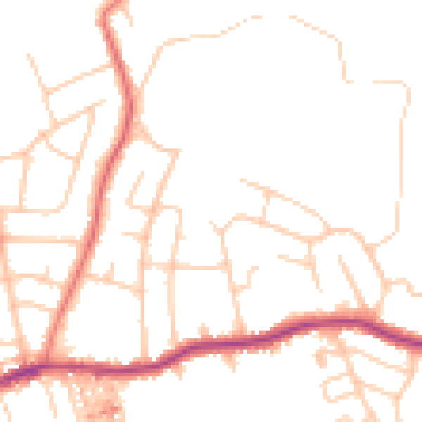
Daytime· 07:00 – 23:00
48.2dB

Night-time· 23:00 – 07:00
38.4dB