Flat 7, 1 Cherry Tree Lane, Romiley, Stockport, SK6 4ER
About Flat 7
Flat 7 is an end-of-terrace house in Romiley, Stockport, Stockport (SK6 4ER). It has a recorded floor area of 45 m² (around 484 sq ft). At 45 m² this is the smallest unit on EPC record across the building (45–83 m²). The building's EPC ratings span D to B, with this unit at the top. The latest certificate (July 2013) returns a B (score 82), comfortably above the UK average. The latest certificate is from July 2013, so improvements made since then won't be reflected.
At 45 m² it sits well below the postcode median (76 m² across 18 EPCs), making it one of the more compact homes locally.
Everything you need to know about Flat 7
The true value, the hidden risks and the full sale history, in one report.
Pick your report · every report is £14.99
One time fee only - money back guarantee

The data behind every report


Energy performance
Flat 7's carbon output is low for the local stock.
EPC Expired
This certificate is over 10 years old and is no longer valid.Expired 08 Jul 2023
EPC Rating
Get a survey for this property
Level 2 HomeBuyer Report
We've checked 10 risk factors against the available data for this property and believe a Level 2 HomeBuyer Report could be a suitable option for you.
From £495 · Includes VAT
Planning history
Flat 7 has no planning applications on record.
But the area is active
1 notable application nearby — larger schemes and conversions that could reshape the street. The report maps them all.
Sales history & valuation
Flat 7 has no Land Registry sales on file, suggesting it has stayed in the same hands since registration began.
£162,000
Modelled from EPC, postcode comparables.
No sales recorded with HM Land Registry
That can mean the property has never traded since the registry began publishing in 1995, was a new build that hasn't been registered yet, or is held in the same hands long-term.
Median price across the last 5 sales in SK6 4ER: £120,000 (2023–2007).
Nearby sales in SK6 4ER
7 Cherry Tree Lane, Romiley, Stockport, SK6 4ER
Sold Apr 2023
£225,0005 Cherry Tree Lane, Romiley, Stockport, SK6 4ER
Sold Jan 2021
£120,00011 Cherry Tree Lane, Romiley, Stockport, SK6 4ER
Sold Jul 2016
£122,00030 Cherry Tree Lane, Romiley, Stockport, SK6 4ER
Sold Jul 2012
£117,50015 Cherry Tree Lane, Romiley, Stockport, SK6 4ER
Sold Jan 2007
£89,500
Versus other Cherry Tree Lane homes
On floor area, Flat 7 runs well behind the street norm.
EPC Rating
82 (B)
Street avg 76 (C)
Floor Area
45 m²
Street avg 58 m²
CO₂ Emissions
0.9 t/year
Street avg 1.6 t/year
Everything you need to know about Flat 7
The true value, the hidden risks and the full sale history, in one report.
Pick your report · every report is £14.99
One time fee only - money back guarantee
The data behind every report
Similar properties nearby
Bank Chambers 2a, Flat 3, Guywood Lane, Romiley
SK6 4AN
Flat 2, 4 John Street, Romiley
SK6 4BR
Flat 1, 79 Compstall Road, Romiley
SK6 4DB
Flat 6, 1 Cherry Tree Lane, Romiley
SK6 4ER
Bank Chambers 2a, Flat 1, Guywood Lane, Romiley
SK6 4AN
Flat 2, 1 Cherry Tree Lane, Romiley
SK6 4ER
Flat 3, 1 Cherry Tree Lane, Romiley
SK6 4ER
Flat 5, 1 Cherry Tree Lane, Romiley
SK6 4ER
The neighbourhood at a glance
Daytime road noise here sits well below conversation level — a quiet pocket of the postcode.
Crime
1/mo
Steady year-on-year across the wider district.
Nearest stop
0.1 km
Cherry Tree Lane — bus stop.
Closest school
0.7 km
Romiley Primary School. 16 schools nearby.
Go deeper on the local area
A Local Area report breaks down crime, transport links, schools and air quality in depth.
Road noise across the postcode
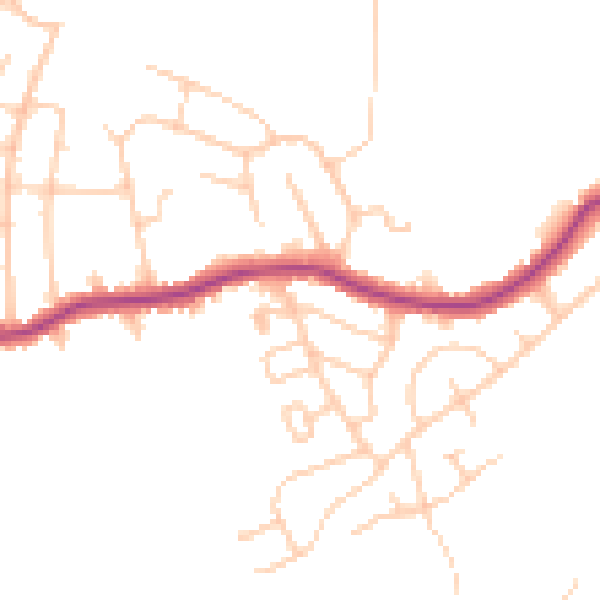
Daytime· 07:00 – 23:00
46.5dB

Night-time· 23:00 – 07:00
38.0dB