Flat 2, 4 John Street, Romiley, Stockport, SK6 4BR
About Flat 2
Flat 2 is a two-bedroom mid-terrace house in Romiley, Stockport, Stockport (SK6 4BR). It has a recorded floor area of 48 m² (around 517 sq ft) and construction records dating it to 1900-1929. The latest certificate (May 2018) shows an E (score 40), well below the UK norm with real room to improve. The recommended improvements would lift it to C (score 73), a 2-band jump. Main heating runs on electricity.
At 48 m² it's 20% smaller than the typical home in the postcode (60 m² median across 6 EPCs). It lags the bulk of the postcode on energy efficiency (less efficient than 83% of similar EPCs).
What this property has
Inside
- Bedrooms2
- Bathrooms1
- Open-plan layoutYes
- EnsuiteYes
Building
- Heating systemElectric
- RefurbishedYes
Everything you need to know about Flat 2
The true value, the hidden risks and the full sale history, in one report.
Pick your report · every report is £14.99
One time fee only - money back guarantee

The data behind every report


Energy performance
Recommended upgrades on file would lift this property by multiple EPC bands.
EPC Rating
Get a survey for this property
Level 3 Building Survey
Because the property was built before 1919, has no mains gas supply, and has solid (non-cavity) walls, we believe a Level 3 building survey should be considered.
From £820 · Includes VAT
Planning history
Flat 2 has no planning applications on record.
But the area is active
1 notable application nearby — larger schemes and conversions that could reshape the street. The report maps them all.
Sales history & valuation
Flat 2 has no Land Registry sales on file, suggesting it has stayed in the same hands since registration began.
£160,000
Modelled from EPC, postcode comparables.
No sales recorded with HM Land Registry
That can mean the property has never traded since the registry began publishing in 1995, was a new build that hasn't been registered yet, or is held in the same hands long-term.
Median price across the last 5 sales in SK6 4BR: £120,000 (2021–2012).
Nearby sales in SK6 4BR
5 John Street, Romiley, Stockport, SK6 4BR
Sold Sept 2021
£174,0003 John Street, Romiley, Stockport, SK6 4BR
Sold Aug 2021
£120,0002 John Street, Romiley, Stockport, SK6 4BR
Sold Oct 2020
£85,0006 John Street, Romiley, Stockport, SK6 4BR
Sold Jan 2012
£65,0007 John Street, Romiley, Stockport, SK6 4BR
Sold Apr 2001
£52,700
Everything you need to know about Flat 2
The true value, the hidden risks and the full sale history, in one report.
Pick your report · every report is £14.99
One time fee only - money back guarantee
The data behind every report
Similar properties nearby
Chadkirk Mews, Flat 3, Church Lane, Romiley
SK6 4AA
Chadkirk Mews, Flat 2, Church Lane, Romiley
SK6 4AA
Chadkirk Mews, Flat 1, Church Lane, Romiley
SK6 4AA
Chadkirk Mews, Flat 8, Church Lane, Romiley
SK6 4AA
Chadkirk Mews, Flat 5, Church Lane, Romiley
SK6 4AA
Chadkirk Mews, Flat 6, Church Lane, Romiley
SK6 4AA
Flat 7, 1 Cherry Tree Lane, Romiley
SK6 4ER
Bank Chambers 2a, Flat 1, Guywood Lane, Romiley
SK6 4AN
The neighbourhood at a glance
Rail-style transport is unusually close for this postcode.
Crime
1/mo
Steady year-on-year across the wider district.
Nearest stop
0.0 km
Romiley Rail Station — railway station.
Closest school
0.4 km
Romiley Primary School. 18 schools nearby.
Go deeper on the local area
A Local Area report breaks down crime, transport links, schools and air quality in depth.
Road noise across the postcode
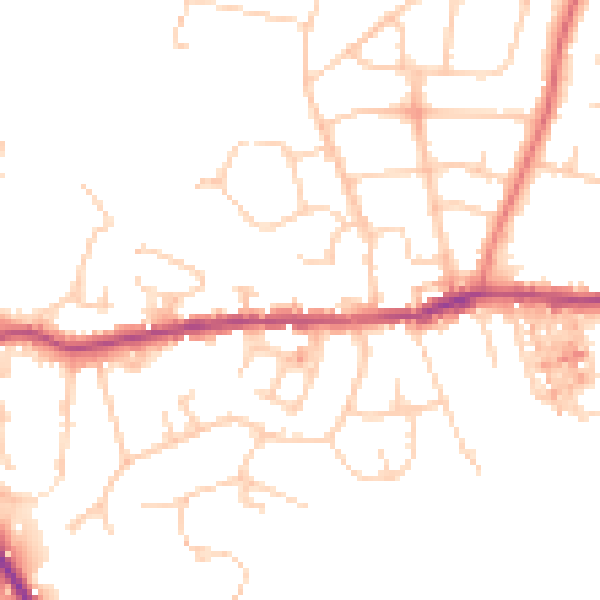
Daytime· 07:00 – 23:00
48.9dB

Night-time· 23:00 – 07:00
39.1dB