Chadkirk Mews, Flat 6, Church Lane, Romiley, Stockport, SK6 4AA
About Chadkirk Mews
Chadkirk Mews is a two-bedroom semi-detached house in Romiley, Stockport, Stockport (SK6 4AA). It has a recorded floor area of 50 m² (around 538 sq ft), construction records dating it to 1996-2002 and council tax band C. At 50 m² this is the 3rd smallest of 6 units on EPC record in Chadkirk Mews, where floor areas span 36–129 m². The building's EPC ratings span E to C, with this unit at the top. Other recorded features include notable views. The latest certificate (April 2021) shows a C (score 77), near the top of the C band. Earlier certificates rated it B (April 2011); the latest reading is one band lower.
Untraded for 19 years, with the last transfer in January 2007. That sale landed at the peak of the pre-credit-crunch market, which is a useful reference point when interpreting the price. At 50 m² it sits well below the postcode median (89 m² across 35 EPCs), making it one of the more compact homes locally. Its energy rating outperforms most of the postcode (better than 77% of similar EPCs). Across 1999–2007, sale prices on this property compounded at 12.5% per year. Today's modelled estimate of £195,000 is 34% above the 2007 sale price. On a £-per-square-foot basis, the last sale (£270/sq ft) was about 75.9% above the typical sold price in the postcode.
What this property has
Inside
- Bedrooms2
- Dining roomYes
Outside
- Private gardenYes
- GarageYes
- Notable viewsYes
Building
- Heating systemGas
- RefurbishedYes
Everything you need to know about Chadkirk Mews
The true value, the hidden risks and the full sale history, in one report.
Pick your report · every report is £14.99
One time fee only - money back guarantee

The data behind every report


Energy performance
Chadkirk Mews's carbon output is low for the local stock.
EPC Rating
Get a survey for this property
Level 2 HomeBuyer Report
We've checked 10 risk factors against the available data for this property and believe a Level 2 HomeBuyer Report could be a suitable option for you.
From £495 · Includes VAT
Planning history
Chadkirk Mews has no planning applications on record.
But the area is active
1 notable application nearby — larger schemes and conversions that could reshape the street. The report maps them all.
Sales history & valuation
Chadkirk Mews has more than doubled in price since the earliest registered sale in 1999.
£195,000
Modelled from EPC, postcode comparables and a sale-price growth of 12.5% per year over 8 years.
£145,500
Growth on file: 12.5% per year over 8 years.
Sales timeline
5 January 2007Most recent
£145,500
+142.5%over 7 years24 June 1999
£60,000
Median price across the last 5 sales in SK6 4AA: £385,000 (2025–2023).
Nearby sales in SK6 4AA
30 Church Lane, Romiley, Stockport, SK6 4AA
Sold Mar 2025
£395,00014 Church Lane, Romiley, Stockport, SK6 4AA
Sold Jan 2024
£385,00020 Church Lane, Romiley, Stockport, SK6 4AA
Sold Sept 2023
£340,00038 Church Lane, Romiley, Stockport, SK6 4AA
Sold Jun 2023
£420,000Chadkirk Mews, Flat 5, Church Lane, Romiley, Stockport, SK6 4AA
Sold Jun 2023
£175,500
Versus other Church Lane homes
Price per m² for Chadkirk Mews runs comfortably ahead of the street norm.
Price per m²
£2,910
Street avg £2,514
Floor Area
50 m²
Street avg 52 m²
Habitable Rooms
3 rooms
Street avg 3 rooms
CO₂ Emissions
1.4 t/year
Street avg 1.9 t/year
Everything you need to know about Chadkirk Mews
The true value, the hidden risks and the full sale history, in one report.
Pick your report · every report is £14.99
One time fee only - money back guarantee
The data behind every report
Similar properties nearby
Chadkirk Mews, Flat 5, Church Lane, Romiley
SK6 4AA
Chadkirk Mews, Flat 8, Church Lane, Romiley
SK6 4AA
Chadkirk Mews, Flat 1, Church Lane, Romiley
SK6 4AA
Chadkirk Mews, Flat 2, Church Lane, Romiley
SK6 4AA
Chadkirk Mews, Flat 3, Church Lane, Romiley
SK6 4AA
Flat 2, 4 John Street, Romiley
SK6 4BR
Flat 1, 29 Compstall Road, Romiley
SK6 4BT
Flat 1, 1 Cherry Tree Lane, Romiley
SK6 4ER
The neighbourhood at a glance
Rail-style transport is unusually close for this postcode.
Crime
1/mo
Steady year-on-year across the wider district.
Nearest stop
0.1 km
Romiley Station — bus stop.
Closest school
0.5 km
Romiley Primary School. 18 schools nearby.
Go deeper on the local area
A Local Area report breaks down crime, transport links, schools and air quality in depth.
Road noise across the postcode
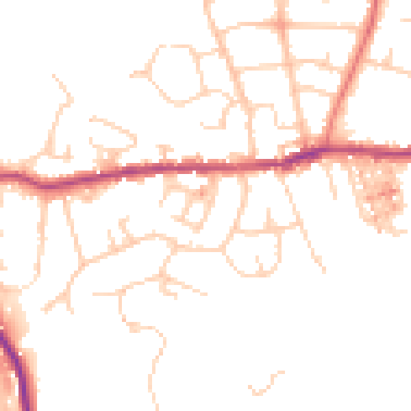
Daytime· 07:00 – 23:00
48.6dB

Night-time· 23:00 – 07:00
39.2dB