1 Grizedale Road, Woodley, Stockport, SK6 1BQ
About 1 Grizedale Road
1 Grizedale Road is a property in Woodley, Stockport, Stockport (SK6 1BQ). It has council tax band C.
Energy performance
No EPC on record
This property doesn't have an Energy Performance Certificate yet. An EPC is required to sell or let — and unlocks our automated valuation.
Get a survey for this property
Level 2 HomeBuyer Report
We've checked 10 risk factors against the available data for this property and believe a Level 2 HomeBuyer Report could be a suitable option for you.
Planning history
No planning applications are recorded against 1 Grizedale Road, Woodley, Stockport, SK6 1BQ. The full report also covers planning activity across the surrounding area.
Sales history & valuation
No sales recorded with HM Land Registry
That can mean the property has never traded since the registry began publishing in 1995, was a new build that hasn't been registered yet, or is held in the same hands long-term.
Median price across the last 5 sales in SK6 1BQ: £253,000 (2025–2020).
Nearby sales in SK6 1BQ
9 Grizedale Road, Woodley, Stockport, SK6 1BQ
Sold Feb 2025
£300,0003 Grizedale Road, Woodley, Stockport, SK6 1BQ
Sold Oct 2024
£303,0008 Grizedale Road, Woodley, Stockport, SK6 1BQ
Sold Apr 2021
£247,00010 Grizedale Road, Woodley, Stockport, SK6 1BQ
Sold Mar 2021
£253,0005 Grizedale Road, Woodley, Stockport, SK6 1BQ
Sold Nov 2020
£245,000
Similar properties nearby
1 Ash Court, Hyde Road, Woodley
SK6 1LZ
1 Ashdown Avenue, Woodley
SK6 1LL
1 Ashton Street, Woodley
SK6 1PB
1 Balliol Close, Woodley
SK6 1JD
1 Bank Road, Bredbury
SK6 1DR
1 Bankfield Cottages, Woodley
SK6 1RG
1 Bankfield Road, Woodley
SK6 1RH
1 Barrack Hill Close, Bredbury
SK6 1DS
The neighbourhood at a glance
Rail-style transport is unusually close for this postcode.
Crime
1/mo
Steady year-on-year across the wider district.
Nearest stop
0.3 km
Copage Drive — bus stop.
Closest school
0.5 km
Bredbury St. Marks CofE Primary School. 21 schools nearby.
Road noise across the postcode
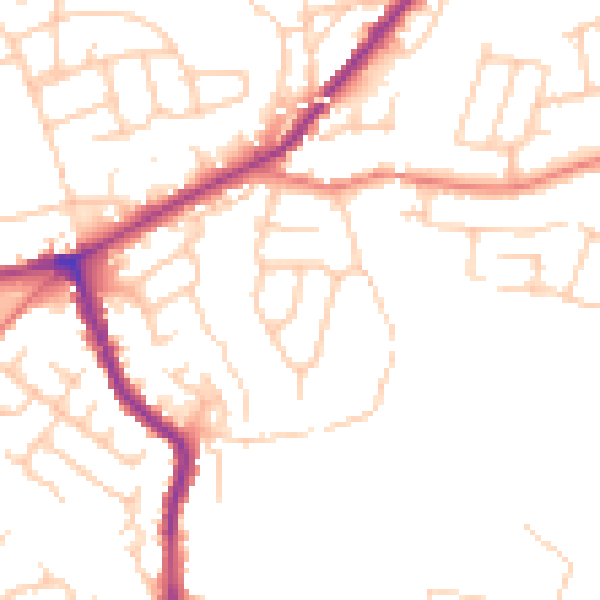
Daytime· 07:00 – 23:00
49.9dB

Night-time· 23:00 – 07:00
40.2dB