Westminster House, Knutsford Road, Chelford, Macclesfield, SK11 9AS
About Westminster House
Westminster House is a property in Chelford, Macclesfield, Macclesfield (SK11 9AS).
5 planning records sit against the property, 3 approved, 0 refused. Past consents include an extension, meaningful when judging how the property has evolved. On the market in April 2015 and unlisted since — roughly 11 years.
Everything you need to know about Westminster House
The true value, the hidden risks and the full sale history, in one report.
30-day money-back guarantee

The data behind every report


Energy performance
No EPC on record
This property doesn't have an Energy Performance Certificate yet. An EPC is required to sell or let — and unlocks our automated valuation.
Planning history
- Oct 2025ExtensionFullIn report
Extension: Rear of property
Erection of a glazed extension to the rear of the existing building.
- Reference
- 25/4233/FUL
- Jun 2025AdvertisingIn report
Advertisement consent for 1 No. hanging sign, 1 No. wall mounted sign and 1No. fence mounted sign.
- Reference
- 25/2475/ADV
We flagged 1 thing worth checking at Westminster House
Independent checks surfaced things a buyer would want to understand before offering. The report explains each one in full, with the underlying data and what to ask.
- Larger development activity nearby
30-day money-back guarantee
Sales history & valuation
£155,000
Recorded with HM Land Registry.
Sales timeline
16 April 2015Most recent
£155,000
Median price across the last 5 sales in SK11 9AS: £433,000 (2024–2020).
Nearby sales in SK11 9AS
Cruachan, Knutsford Road, Chelford, Macclesfield, SK11 9AS
Sold Nov 2024
£260,000The Woodlands, Knutsford Road, Chelford, Macclesfield, SK11 9AS
Sold Jun 2022
£3,650,0002 Knutsford Road Cottages, Knutsford Road, Chelford, Macclesfield, SK11 9AS
Sold Jun 2021
£320,000Candlewick Cottage, Knutsford Road, Chelford, Macclesfield, SK11 9AS
Sold Oct 2020
£433,000Oakleigh, Knutsford Road, Chelford, Macclesfield, SK11 9AS
Sold Mar 2020
£510,000
Everything you need to know about Westminster House
The true value, the hidden risks and the full sale history, in one report.
30-day money-back guarantee
The data behind every report
Similar properties nearby
1 2 Piggotts Hall, Congleton Lane, Lower Withington
SK11 9LD
1 Alderley Road, Chelford
SK11 9AP
1 Ash Cottages, Mill Lane, Snelson
SK11 9BN
1 Ashcroft Drive, Chelford
SK11 9GF
1 Astle Court, Dixon Drive, Chelford
SK11 9BU
1 Barncroft Close, Chelford
SK11 9SW
1 Benbrook Way, Gawsworth
SK11 9RT
1 Blackcroft Barn, Holmes Chapel Road, Lower Withington
SK11 9DP
The neighbourhood at a glance
Rail-style transport is unusually close for this postcode.
Crime
6/mo
Steady year-on-year across the wider district.
Nearest stop
0.0 km
Dixon Drive — bus stop.
Closest school
0.2 km
Chelford CofE Primary School. 2 schools nearby.
Go deeper on the local area
The full report breaks down crime, transport links, schools and air quality in depth.
Road noise across the postcode
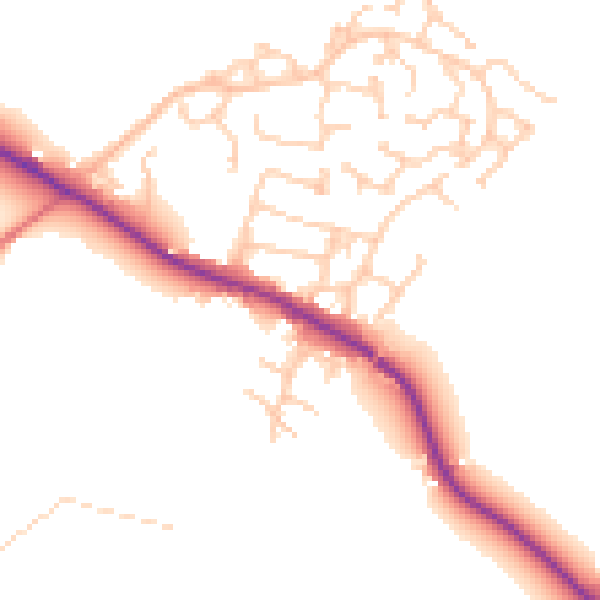
Daytime· 07:00 – 23:00
50.0dB

Night-time· 23:00 – 07:00
42.6dB